Easter Island or Isla de Pascua (pronounced Ease-lah-deh-Pass-qwa) is one of the most secluded islands in the world. Located in the South Pacific Ocean more than 2,000 miles West of South America, this small island is geographically in Oceania, but it is actually a territory of Chile. While the island was settled by the Rapa Nui people as early as 700 AD, the name Easter Island was given by a Dutch explorer who arrived there on Easter Sunday in 1722. The island is home to the iconic moai statues and Rapa Nui National Park, a UNESCO World Heritage Site.
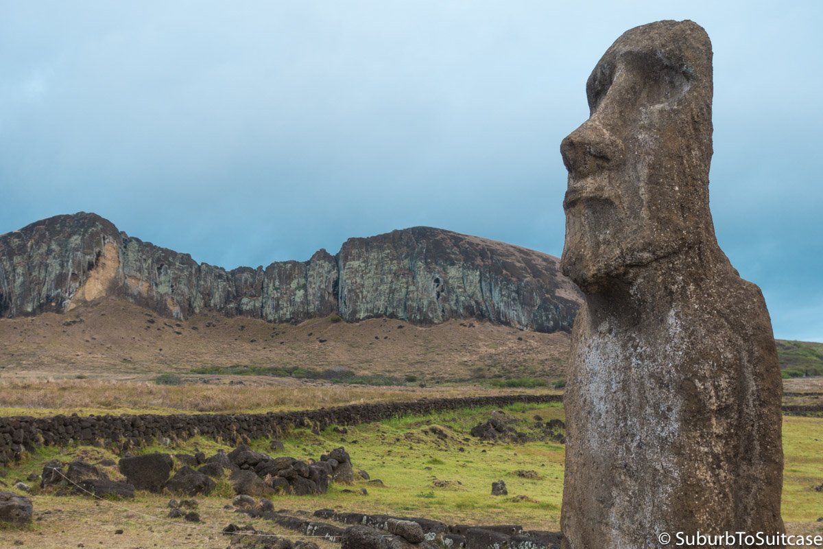
Rapa Nui National Park
At the time of my travel, only two possible flight paths existed for reaching Easter Island – one from Santiago, Chile and the other from Pape’ete, Tahiti. There are also some interesting travel dynamics due to the remoteness of this island. At any given time, only one airplane may be in the air, either en route or departing the island, and past the “point of no return.” Each flight has a mid-point in time between embarkment and arrival (sometimes referred to as an equal time point), where the pilot has a choice where the plane may land, either at the intended destination or returning to the place of origin. With only one runway on Easter Island, a plane in flight must always either have the option to land there or be able to safely turn around and abort the flight before another plane is allowed to pass the equal time point. Confusing, right? One might assume this is due to a short runway, but that actually is not the case. The island’s runway is quite large – it was even expanded to serve as a transoceanic abort landing (TAL) destination in case the space shuttle ever required an unplanned landing.
From the US, approximately 10.5 hours of flights were required in order for me to first reach mainland Chile. Then, I had another 6 hour flight from Santiago to Easter Island. Upon arrival at Mataveri airport, there is a small hut where visitors can purchase a National Park pass. All notable sites on the island require the pass for entry and two specific areas (Rano Raraku and Orongo) can only be visited once each with the pass, presumably to reduce tourist impact to these historic sites.
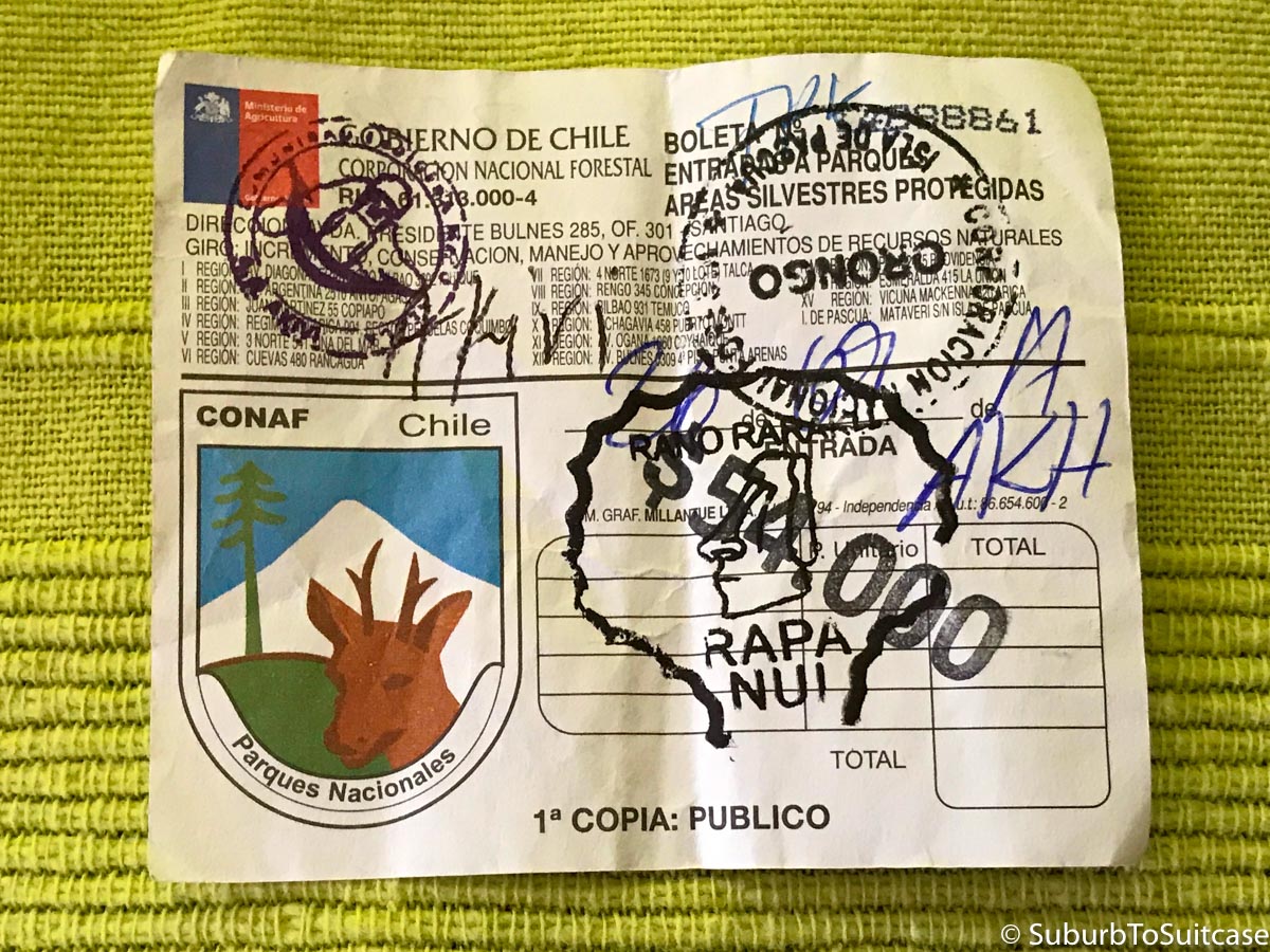
Park Pass 2017
Hanga Roa
Hanga Roa is generally a traveler’s home base on the island because this is where most markets, rental vehicles, restaurants, hostels and tour operators are located. There are limited options once on the island so you can expect to pay a premium for almost everything. Most budget travelers bring their food and Chilean pesos from Santiago to avoid lower exchange rates and exorbitant prices on the island. Some reasonably priced street food options are available if you look. Local panaderías (small bakeries) also offer homemade empanadas. Atún con queso (fresh caught tuna with cheese) is the local specialty. Don’t ask for tuna in Chile though since that translates to the fruit of the prickly pear cactus – super tasty, but not the same as atún.
A couple of points of reference in town include the top of the hill where the church is located and the bottom of the hill, where the stadium and marina are found, along with Plaza Hotomatua. Just up the hill from the stadium is the post office. It is a tiny building, but this is the only place where you can get the special Easter Island passport stamp. They ask for a small donation, but it is worth it. Before you leave the marina area, be sure to look for the tiny ice cream/gelato shop called Mikafé. This is the best dessert I have ever had in my life. I chose a small cup of cherimoya and another creamy fruit flavor that were both amazing.
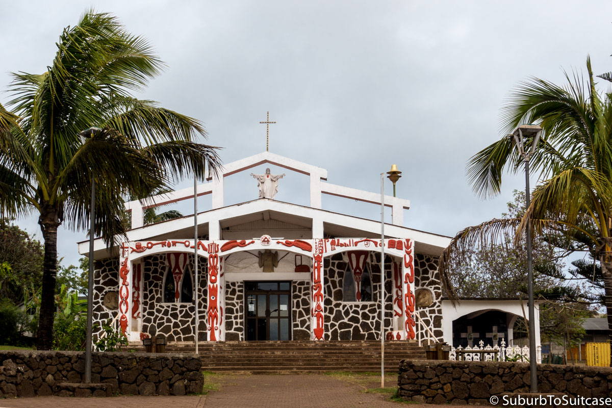
Holy Cross Church
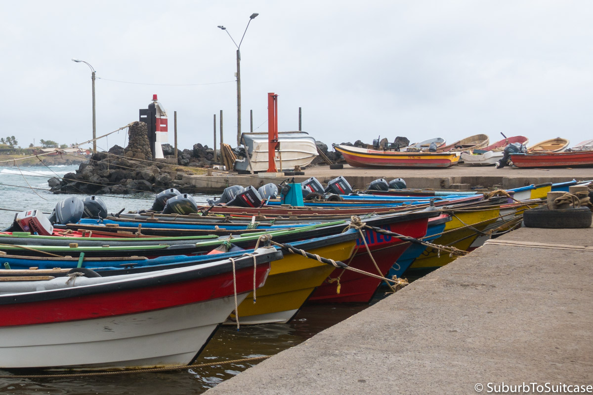
Marina Near Dive Shops
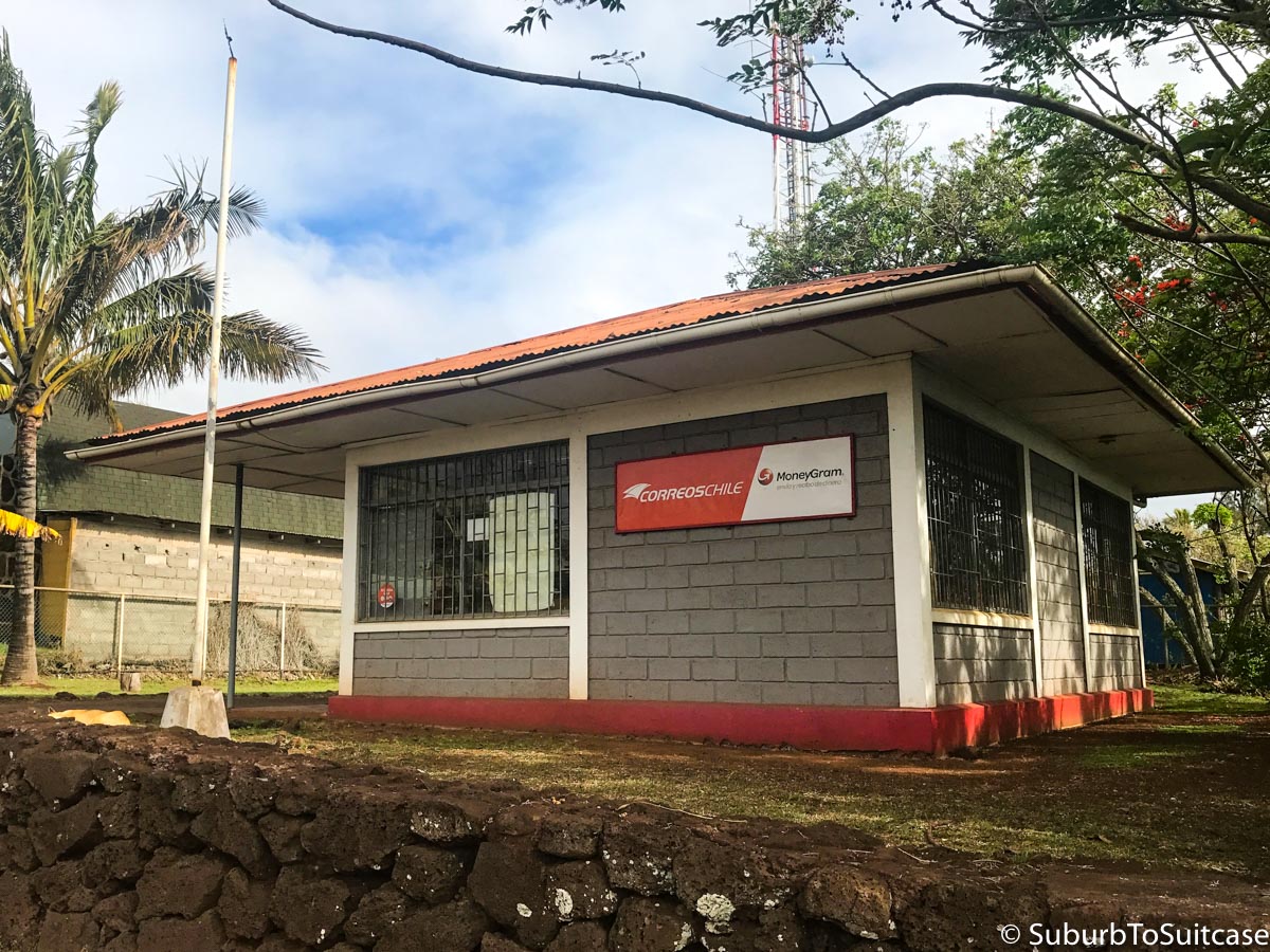
Post Office
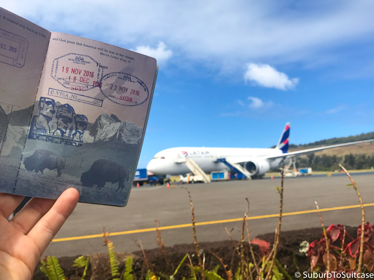
Special Moai Passport Stamp
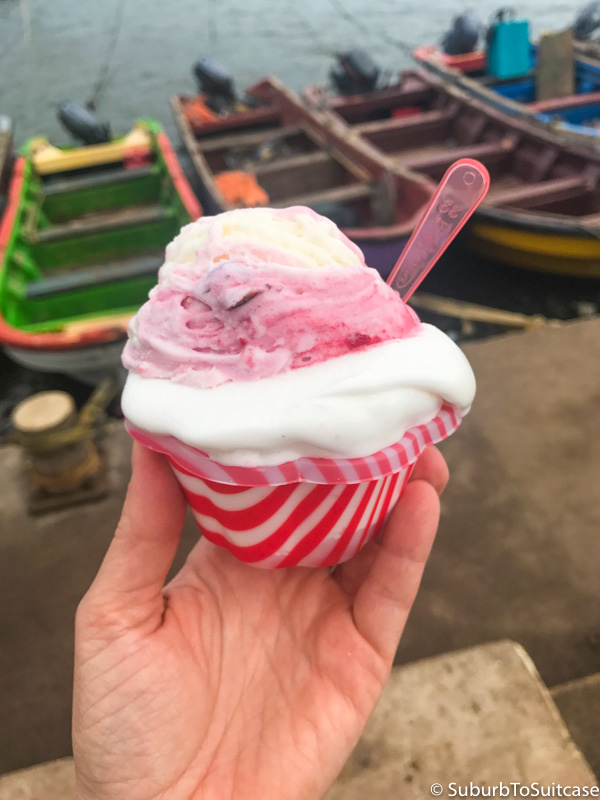
So good!
A short walk past the marina is an outdoor sculpture presentation called Hitu Merahi which was designed by Chilean artist Paola Tancovic. The sculpture garden includes molten metal statues of seven archangels along with an inscription in both Spanish and English: “Love is energy. Energy is humility. Humility is peace. Peace is harmony. Harmony is beauty. Beauty is fullness. Fullness is love.” Just a it further is the local cemetery, full of flowers, statues and vibrant colors.
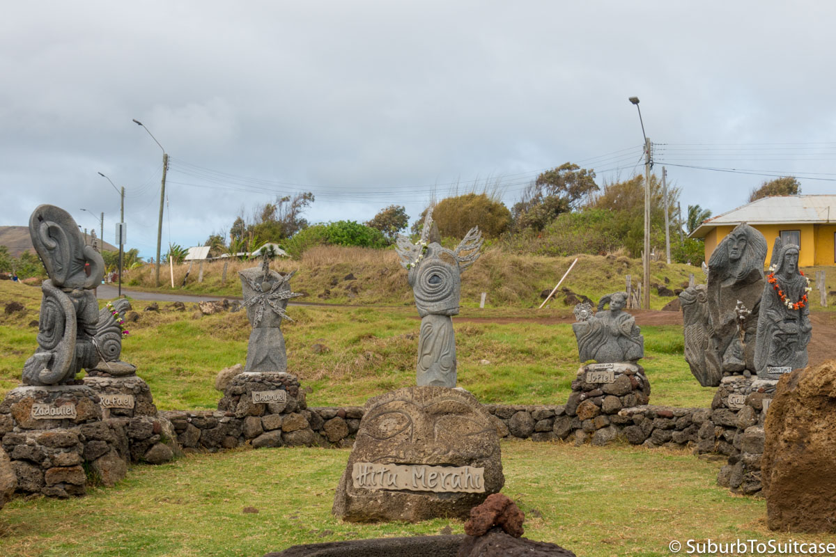
Hitu Merahi
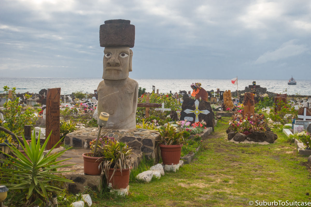
Cemetery
It is smart to make an early decision as to whether or not you are going to explore the island independently by renting a vehicle or if you are going to use a tour company because you will not make it very far on foot or bicycle. If you have done all of your historic research before arrival and can speak Spanish even marginally well, I recommend a rental vehicle so you can cover more ground during your stay and explore some less traveled locations.
Easter Island is only about 15 miles long by 7 miles wide so it does not take long to orient – just do not expect street signs or stoplights at intersections to help you navigate. There are only a couple of marked roads in Hanga Roa. The rest of the island will need to be explored with intuition and a sparsely drawn map. Outside of Hanga Roa’s tourist congestion, the rest of this island is very quiet. In most areas, there are more horses to be seen than cars or people.
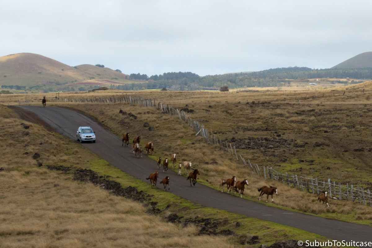
Rush Hour on Easter Island
Some helpful terms to know before exploring:
- Moai – These are the large statues around the island, mostly carved from volcanic ash. There are 800-1200 estimated moai on the island, each weighing around 14 tons with a length of approximately 4 meters. Condition varies because most were created between 1250 and 1500 AD. Generally, the bigger the moai, the higher the status of the person for whom it was created to represent. The orientation of the statues has significance as well – most face inland and are believed to represent Rapa Nui ancestors who protect the villagers. Some moai were completed and placed on platforms while others were completed but never placed and some were left partially finished. While some moai have been restored, most fell in the 18th/19th century with the collapse of the island’s population. There is still controversy over the demise, but research continues and there is still much pride in the Rapa Nui ancestry.
- Pukao – Some of the moai have a large round stone made of red scoria on their heads to represent hair topknots. This may be linked to higher class ancestors. When the moai toppled, often the neck of the statues snapped and the topknots fell off to the side. This is evident in many of the sites around the island.
- Ahu – This is the stone platform where the moai statues rested when they were placed initially. Some moai have been restored to standing positions on the ahus and in some cases, ahus stand barren with broken moai nearby.
- Ana – The island has a number of caves, often formed from lava tubes. These are called anas. There are numerous underground tunnels that can be explored with a headlamp but it is important not to enter any that are unmarked since they may be on private or sacred property.
- Motu – These are the small islets around the perimeter of the island, some with historical significance such as near Orongo.
Rano Raraku
This large archeological site is known as the quarry since it is where most of the moai were carved and from where most were transported to their respective ahus. There is a small trail to follow through the quarry. After a short walk, the path forks and you can either go left to hike up to the volcanic crater or right to follow the path around a large number of moai, including several that are were carved but never excavated. Notable things to look for include the largest moai (over 20 meters long) which was left unfinished and also the only moai on its knees, called Tukuturi.
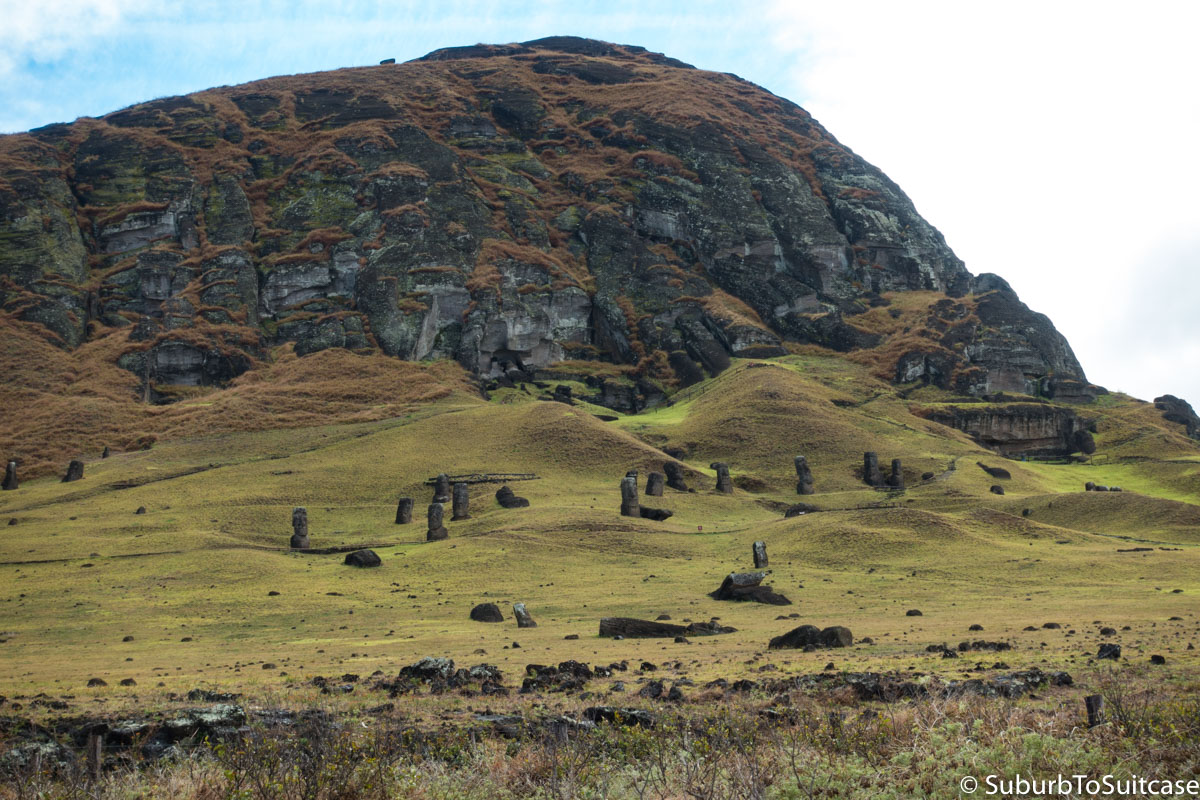
Rano Raraku Hillside Filled With Moai
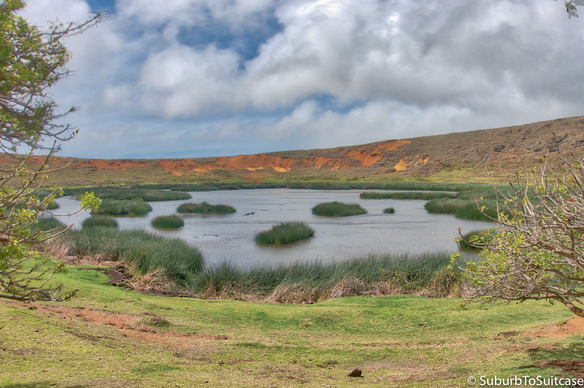
Volcanic Crater
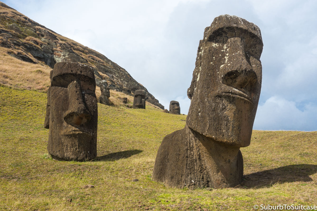
Moai at the Quarry
The photo below gives some perspective on how incredible the process must have been to move the massive finished moai from their origin at the quarry to other parts of the island as early as the 1300s. Imagining how these heavy statues were lifted and transported is remarkable, especially given the primitive tools available at the time. In the distance in the photo below, you can see 15 moai placed in a row at Ahu Tongariki. These are the closest moai to the quarry. Now, envision transporting 800-1200 other statues around the island, some being carried nearly 12 miles to the other side, and the magnitude of the effort increases exponentially.
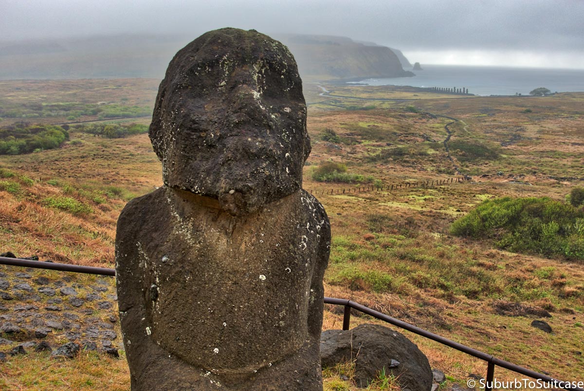
Tukuturi with Tongriki in Background
Puna Pao
Most, if not all, of the red scoria that was used to form the pukao topknots for the moai came from Puna Pao which is another quarry inside a small volcanic crater, located part way between Rano Raraku and Hanga Roa. There are still some residual pukao lying at the bottom of the hill that never made it atop moai. A steep path takes you up to a beautiful panoramic view of the island.
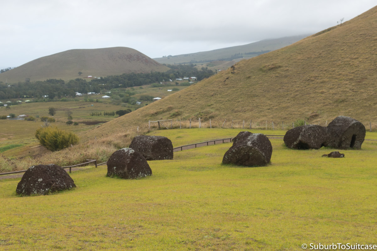
Unplaced Pukao in Red Scoria
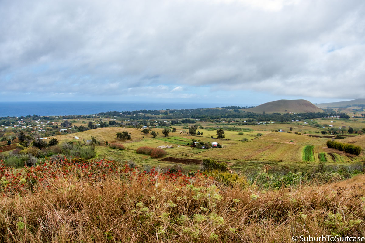
Panoramic View (Volcano in Background)
Ahu Tongariki
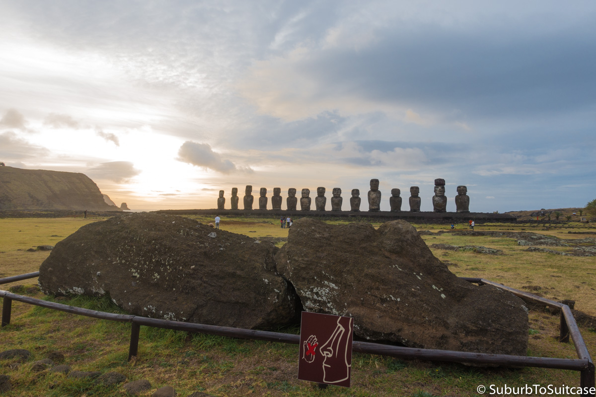
This is the best place to watch the sun rise over the island. However, to get an image with color like the one below, luck needs to be on your side because the unpredictable wind, clouds, rain, haze and other elements have such an impact. It is about an hour drive (give or take, depending on the weather and animals) from Hanga Roa to Ahu Tongariki where the 15 moai are standing along the ocean’s edge. The drive consists of winding narrow roads without powered lights, so the pace is slower than you might think. Mix in blind hills, potholes, roaming cows and free-range horses, and it becomes even more important to mind the speed (generally 40 km/h or ~25 mph). After you get through all of those factors, you need to hope Mother Nature is cooperating because otherwise, color can be completely absent. I’m thankful my first attempt delivered even this much color because other days, there was nothing. You can see some size perspective comparing moai to the tourists in the second photo which I took about an hour after sunrise.
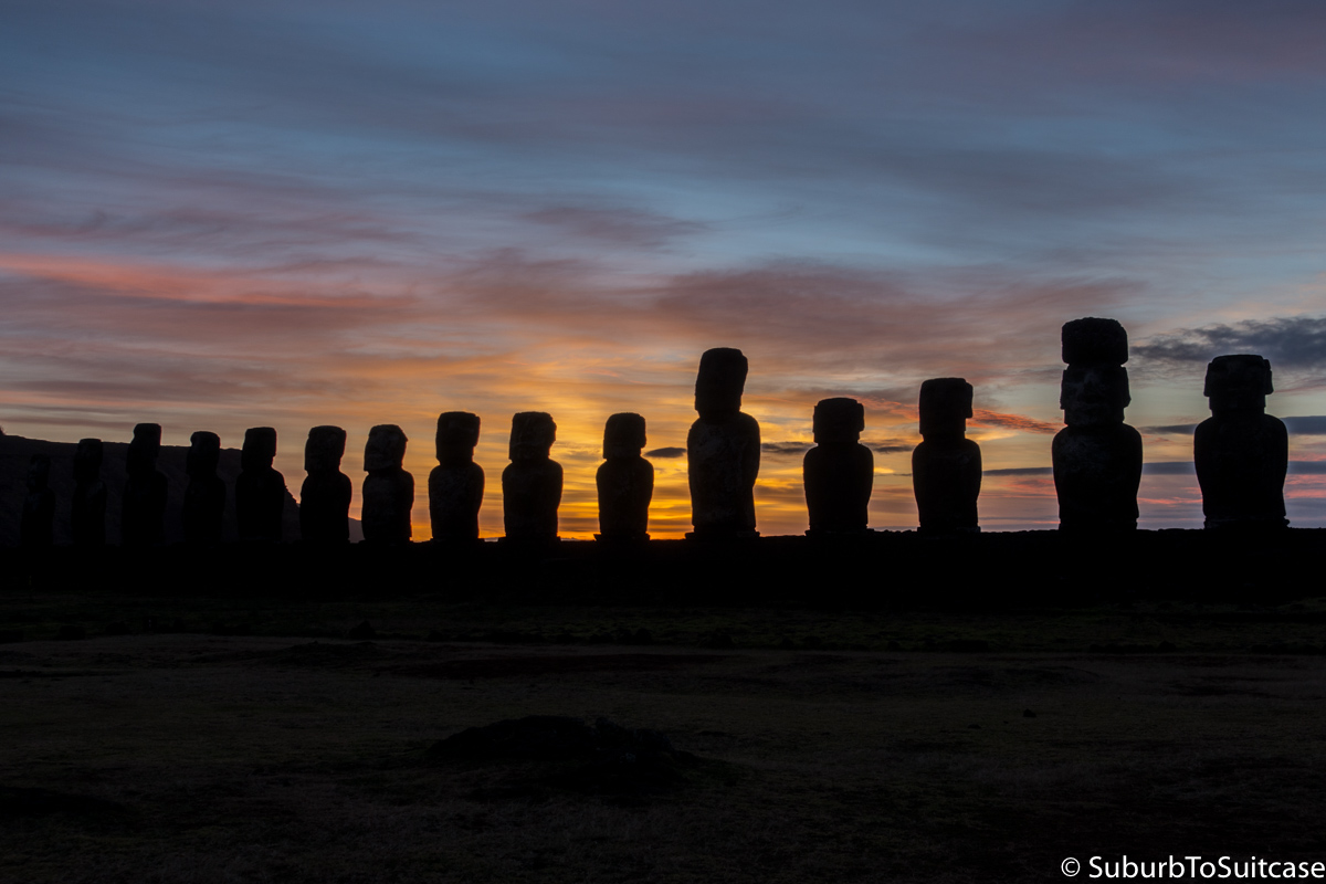
Colorful Sunrise Over Ahu Tongariki’s 15 Moai
Anakena Beach
History states that the founding Rapa Nui king first came to Easter Island by way of this beautiful white sand beach. The Anakena archeological complex, as it’s known, is home to Ahu Nau Nau which is the set of 7 moai with the red pukao topknots still present on most of the statues. This is where one of the few female moai was found. Also discovered in the sand at this location in the 1970s was a white coral eye with red stone pupil. Placing the coral eyes into the moai is thought to have returned the powers of the Rapa Nui ancestors.
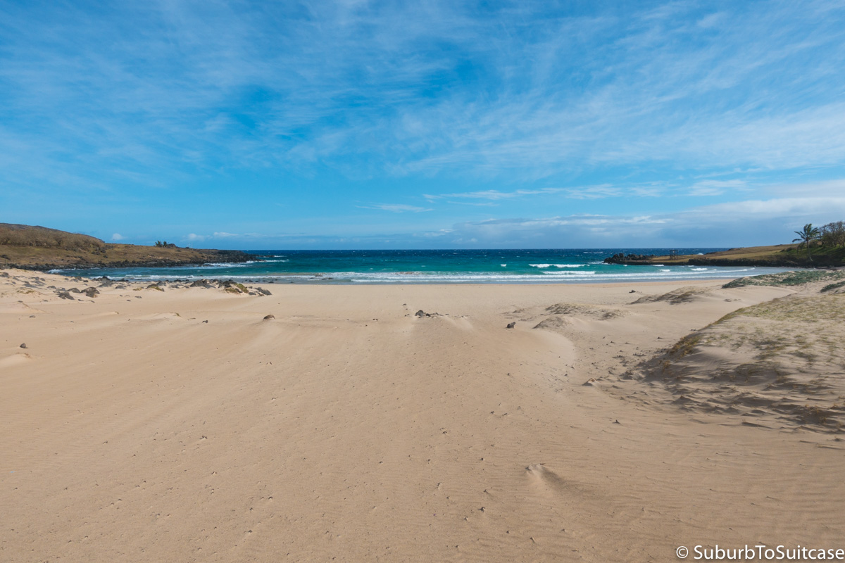
Anakena Beach
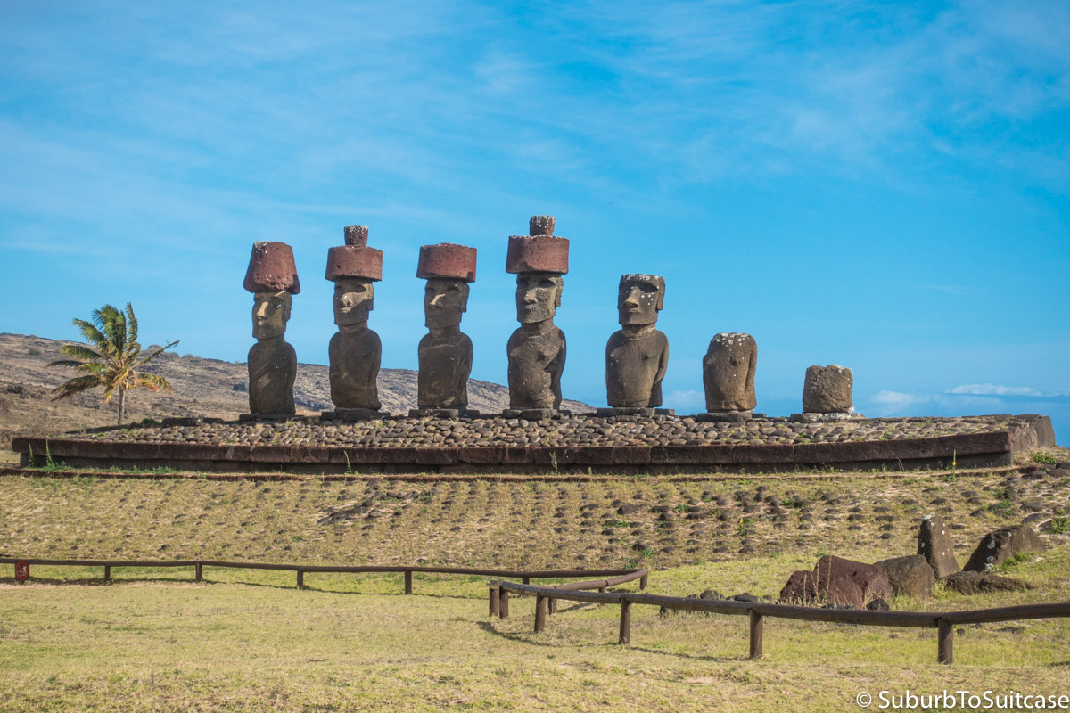
Orongo
Between the secular moai period and the arrival of Christianity on Easter Island in the late 19th century, a warrior class ruled the island through the birdman cult. Orongo is where you find the massive Rano Kau crater and the cliff-side ceremonial village where the annual birdman competition was held. Competitors climbed down the steep cliff at the edge of the volcanic crater, swam into the ocean to the nearby islet (Motu Nui) and the first competitor to retrieve the first seasonal egg of the sooty tern seabird and return to Orongo was deemed the ruler of the Rapa Nui for the coming year. Ancient petroglyph carvings representing the competition are present on stones throughout the village – you just have to look closely to find them and they are more difficult to spot in poor weather conditions.
I was actually very lucky to make it to Orongo during my stay on the island because the day I arrived, there were at least five coordinated fires started by arsonists on the island at various historic locations including Orongo and Rano Raraku. The fires were speculated to be associated with local political elections in the coming days because there were also protest marches in Hanga Roa. The Orongo fire was extremely damaging because of it’s location at the edge of the island where the wind is strong. Flames burned rapidly and most of the lush greenery and shrubs were charred black as you will see in some of the photos to follow. Orongo was closed for days until there were no residual hot spots. On the afternoon before my departure, I had heard mixed reports about Orongo being reopened so I made the drive just in case. The weather was cloudy and rainy which was not ideal, but the site was just reopening so I was allowed to enter with almost no other tourists present.
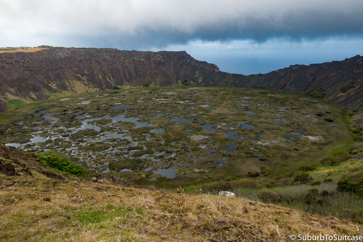
Rano Kau Crater
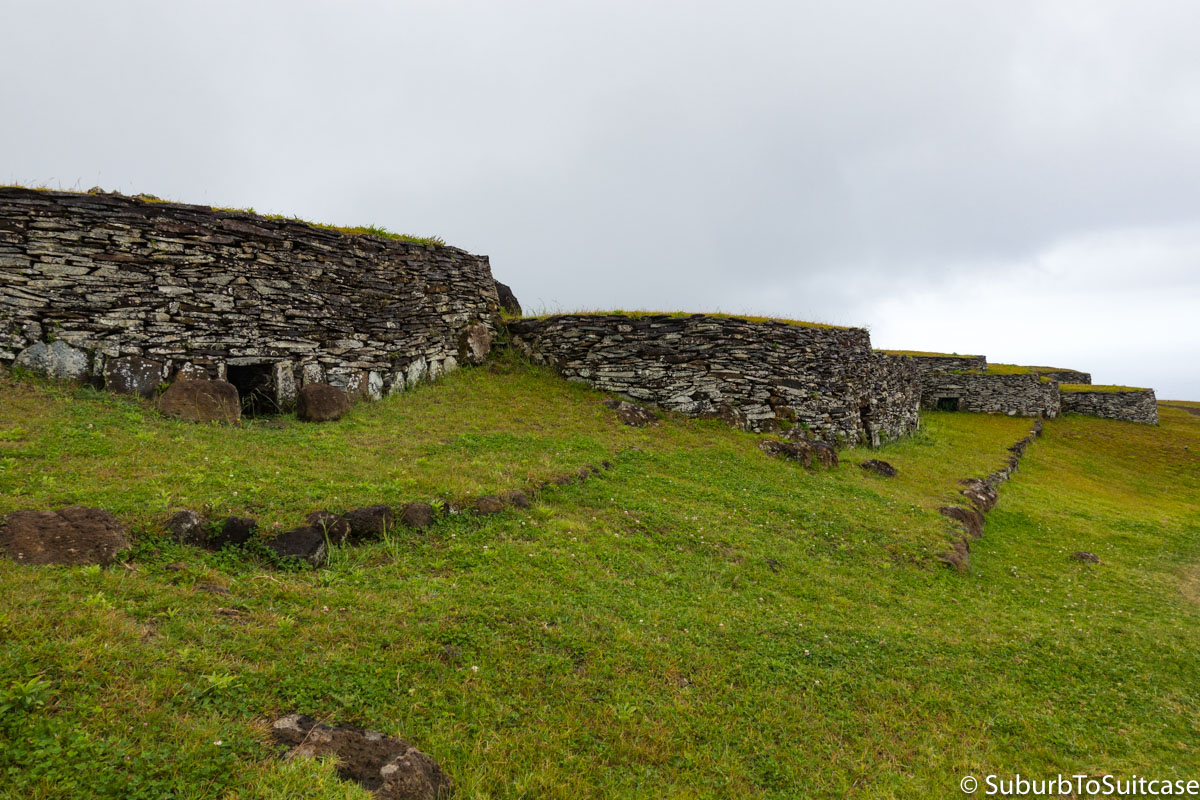
Orongo Ceremonial Village
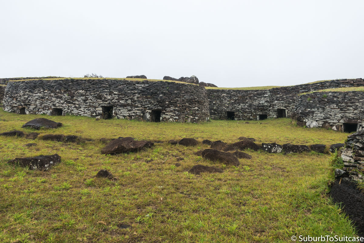
Orongo’s Ancient Dwellings
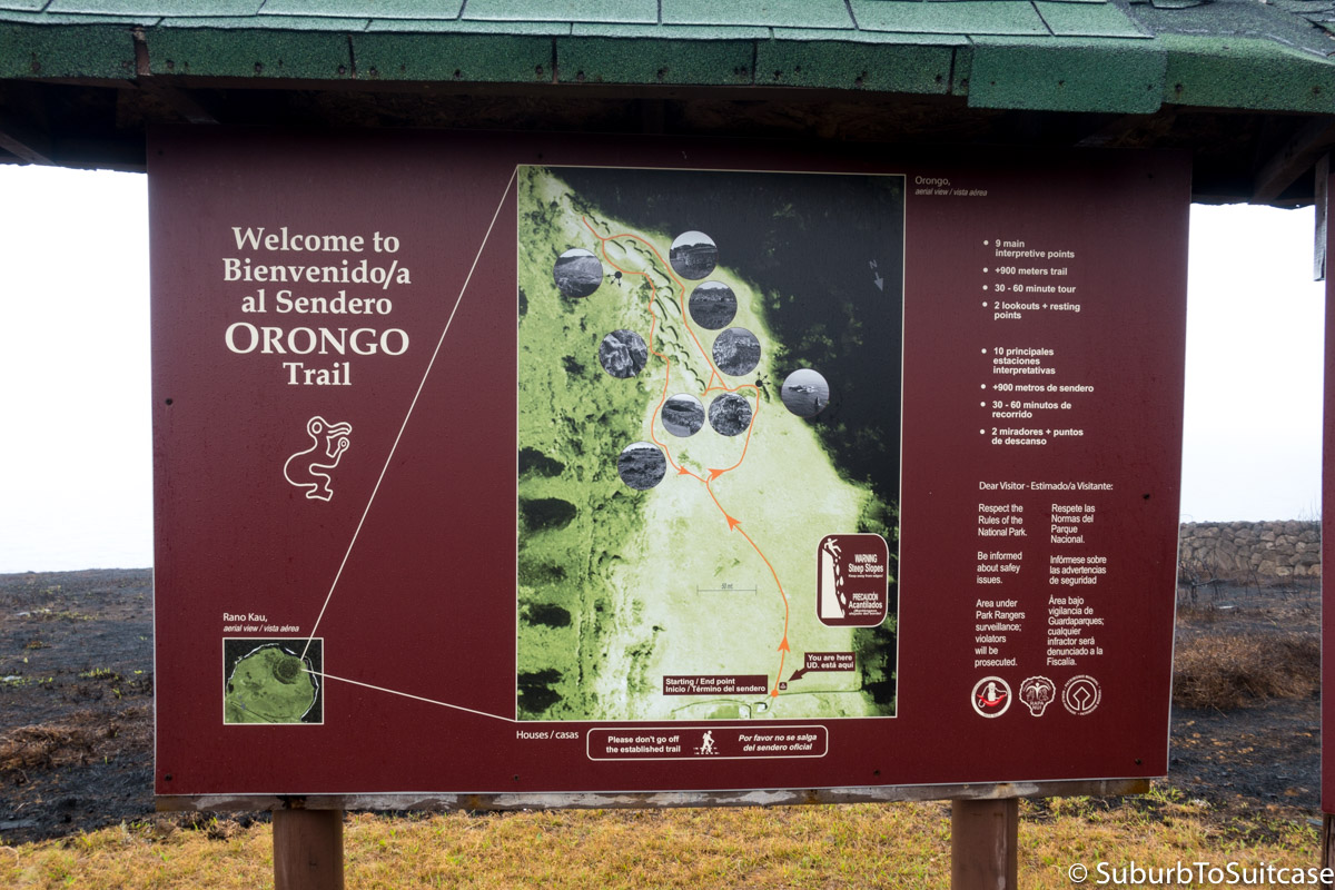
Signage Spared From Arson
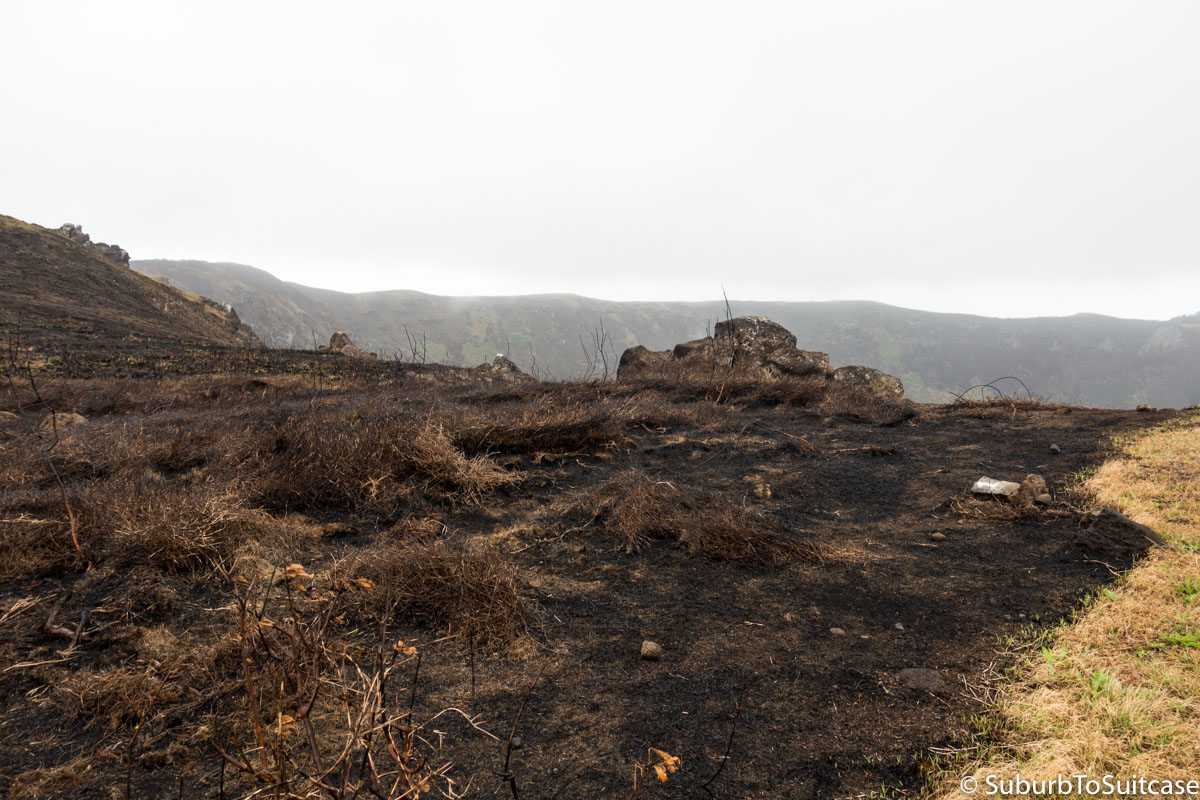
More Burns Near Crater
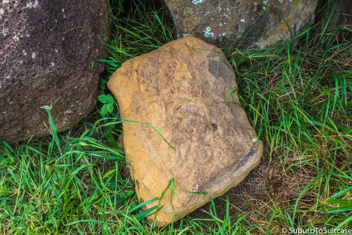
Stone Petroglyph with Bird Motif
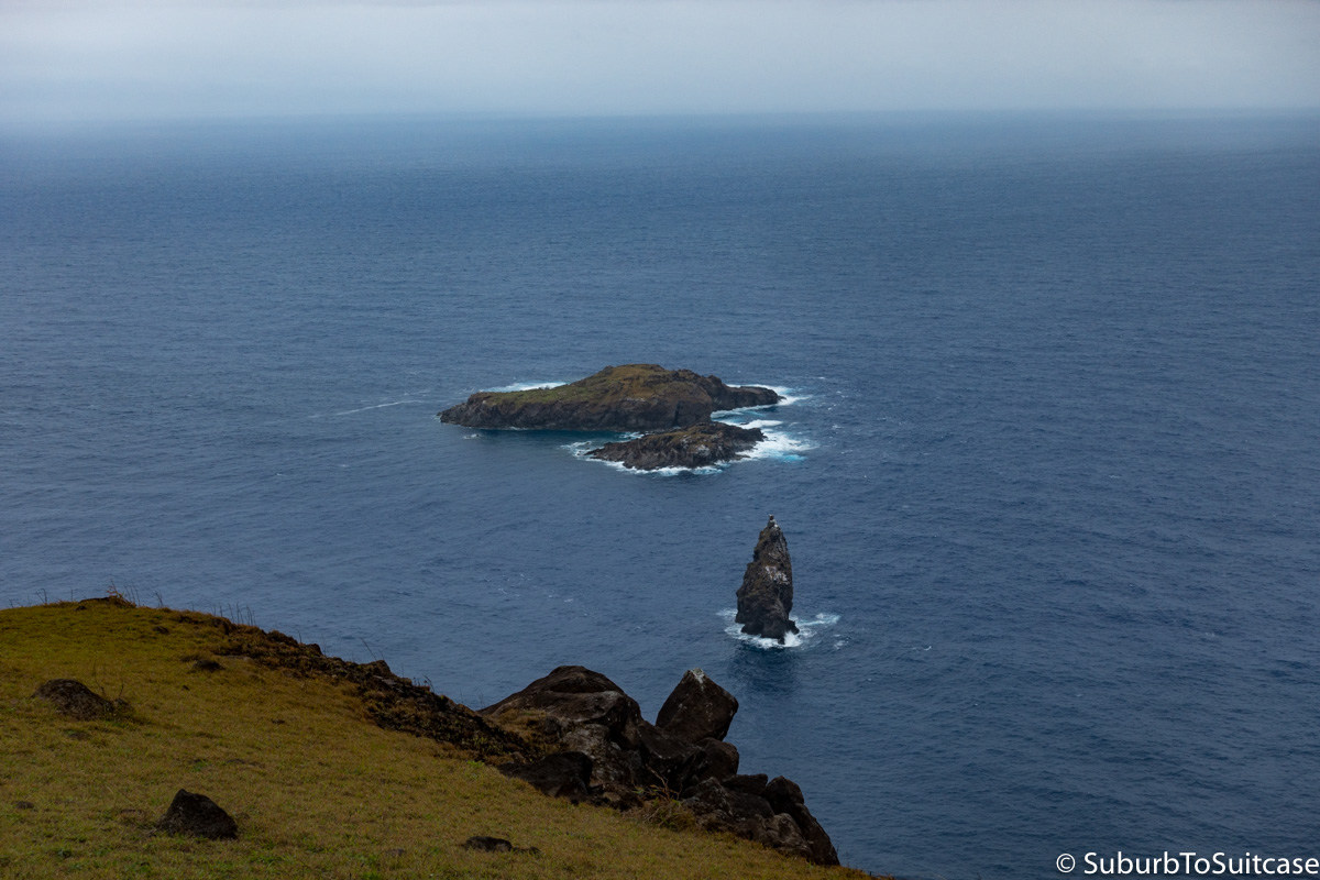
Motu Nui – Birdman Competition Site
Ana Kakenga Cave
There are a number of caves tucked away on the island, but you are not likely to find these by accident. They generally require a hike and some guidance because the entrances are small and easy to miss. I would also not recommend entry without a headlamp or phone spotlight because the interiors of the caves are rocky and the low ceilings are sharp. The views inside are pretty incredible though if you don’t mind small spaces. To capture colors like those in the photos below from inside a cave, you either need a bright strobe or a tripod with bracketing setting on your camera (or better yet, both) to ensure proper exposure. Ana Kakenga is the cave of two windows – one to the left and one to the right of the fork once inside. Each tunnel opens up to a sheer cliff below for great views of the motu islets. Past this cave is Ana Te Pora which is worth seeing as well. That cave is wider and has a number of bones inside, perhaps from animals which entered but never made it back out.
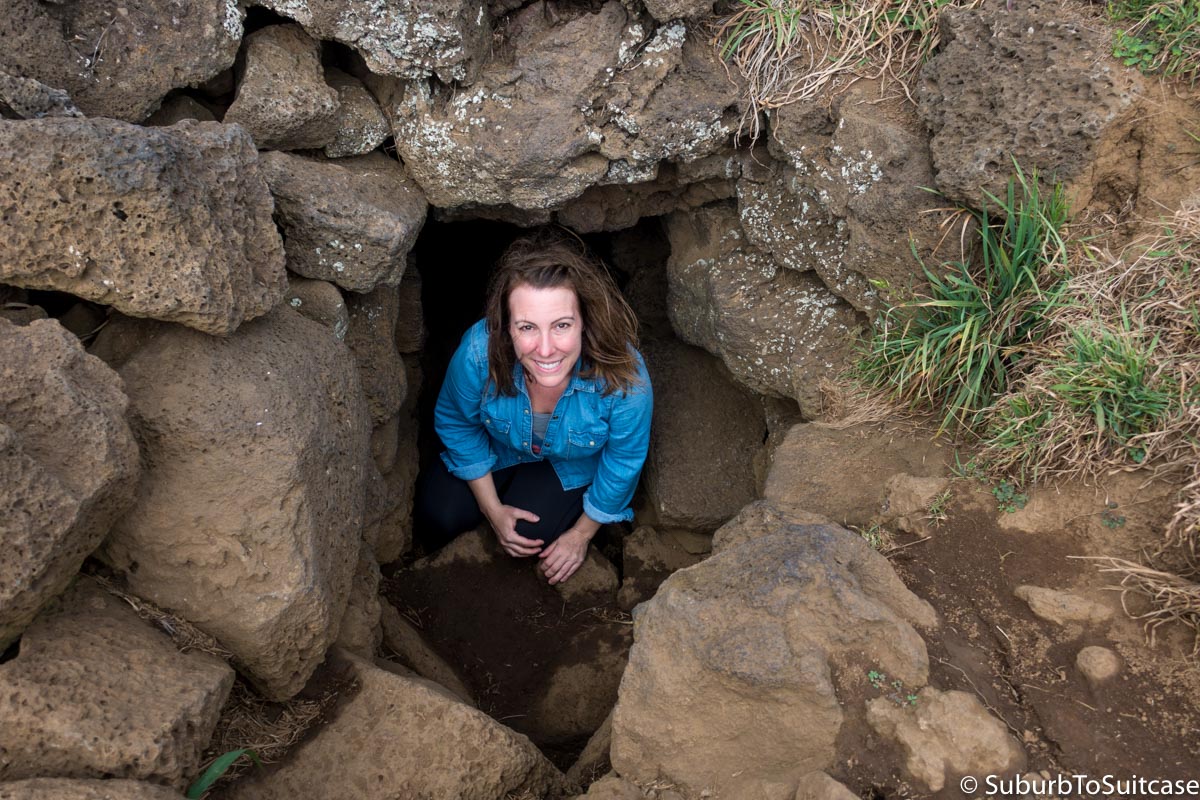
Me in the Snug Entrance to Ana Kakenga
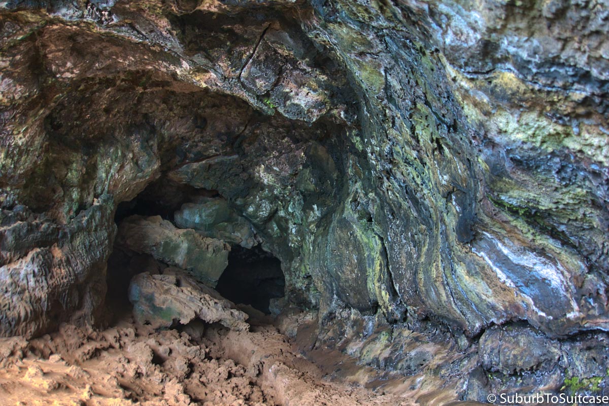
Inside Ana Kakenga
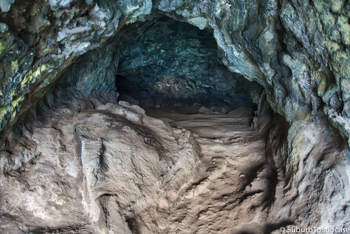
Inside Ana Kakenga
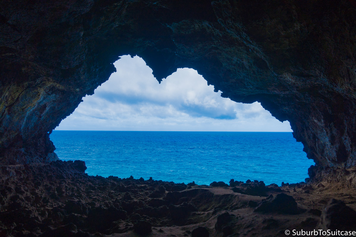
Left Tunnel Window
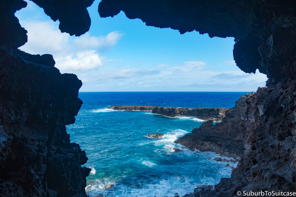
Right Tunnel Window
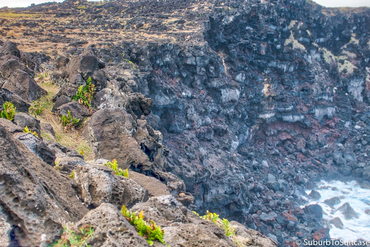
Tunnel Windows Open to the Left of this Cliff
Te Pito Kura
It is believed that the center stone in this formation was brought to the island by the founding king. The name Te Pito Kura translates to “navel of light.” However, some believe the stone has supernatural powers and emits strong magnetic energy – enough to send compasses awry – so it is often referred to as Te Pito o Te Henua, or “navel of the world.” Near the stones is another ahu where the largest moai ever moved from Rano Raraku quarry is resting, face down and broken, along with the original pukao topknot off to the side. At approximately 10 meters long, this moai is estimated to weigh over 80 tons. The pukao alone weighs over 12 tons. This statue, called Paro, is believed to have been commissioned by a widow to honor her late husband.
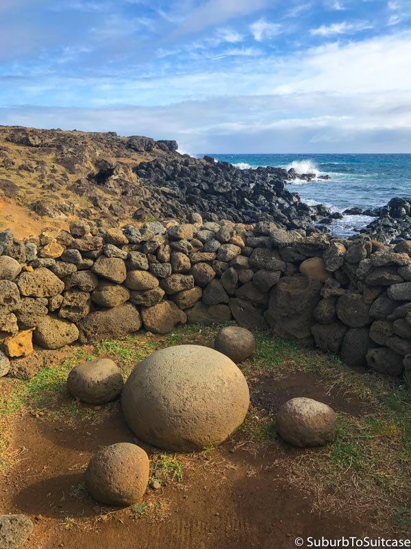
Papa Vaka
This is a small archeological site near Te Pito Kura with a number of petroglyph carvings etched into lava rocks on the ground. Some are small but there are some that are very large. Most are linked to the sea in some way, including canoes, fish hooks, tuna, shark, octopus and crab.
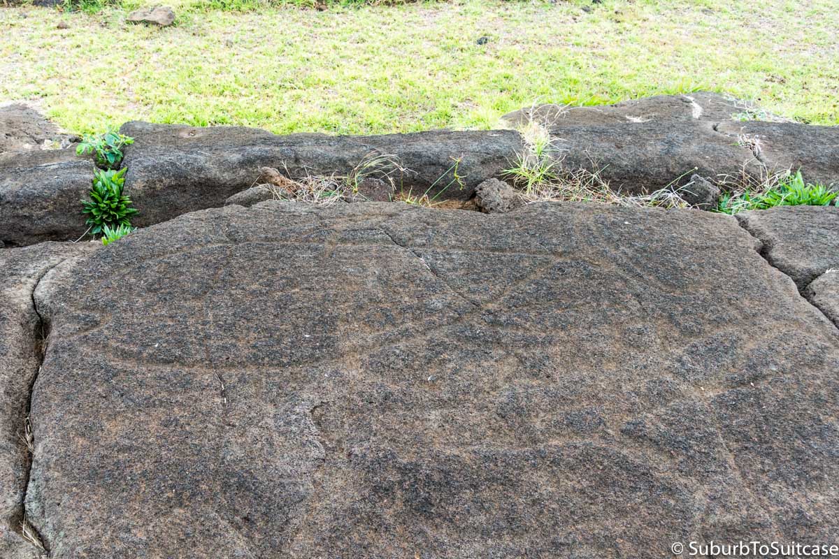
Large Tuna (Upper Left) and Shark (Lower Right)
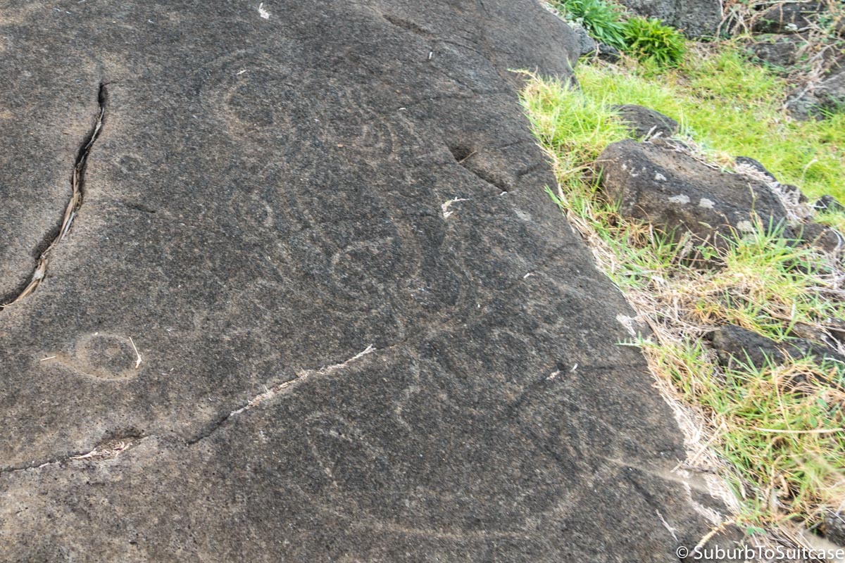
Octopus (Top Center) and Crab (Lower Right)
Tahai
Tahai is an ancient ceremonial complex with three ahus (Via Uri, Tahai and Ko Te Riku) as well as other archeological artifacts from over 10 centuries past. This is where you find the one moai with the painted eyes. Tahai is also the go-to destination to hunt down the sunset, but like the sunrise, it’s a fickle friend. I tried four evenings in a row and only on the last night did the colors appear with any vibrancy. When the weather is clear, much of the island (residents, travelers, dogs and horses alike) gathers on the grass to watch the sun’s show over the Moai. Cheers and clapping close the performance.
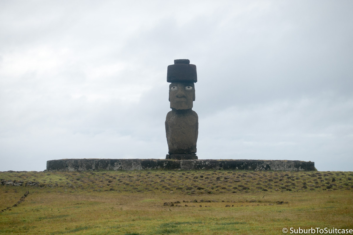
Ahu Ko Te Riku With Painted Eyes
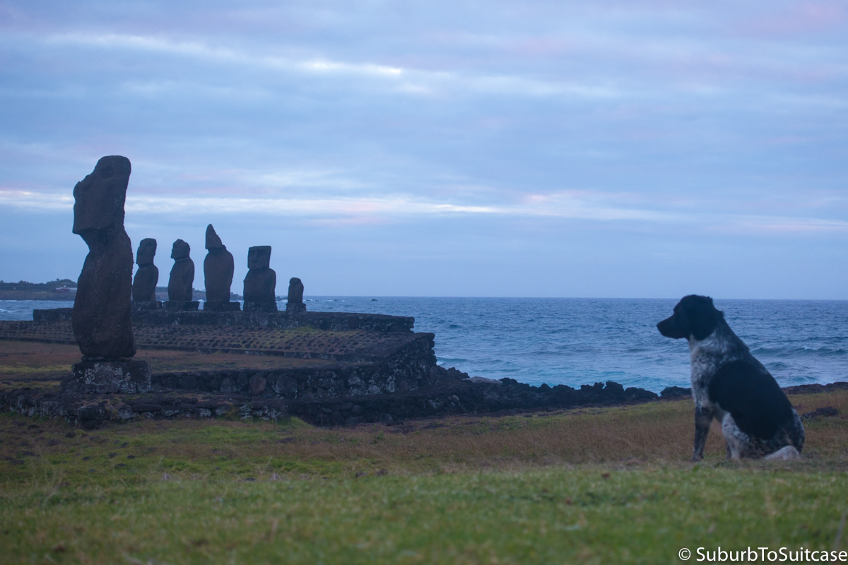
Waiting (Ahu Via Uri in Background, Ahu Tahai in Foreground)
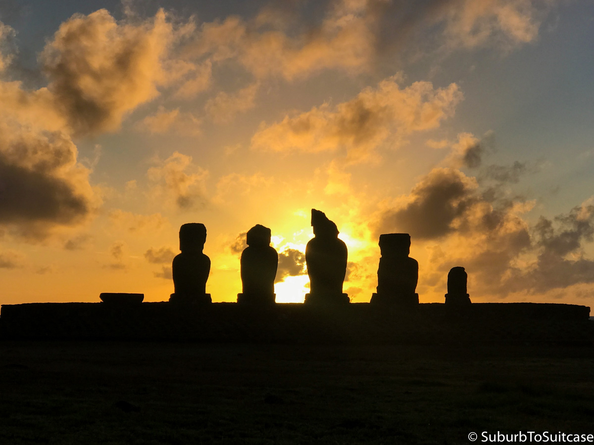
Sunset at Tahai
Ma′unga Terevaka
I wanted to get some hiking in before I traveled back to mainland Chile to continue my journey South to Patagonia (you can find that travelogue here) so I decided to visit Tere Vaka which is the largest and tallest volcano on the island at ~510 meters. At the base of the hill is Ahu Akivi, a notable set of seven moai (all the same general shape and size) which are the only moai to face toward the sea as opposed to inland. This unique orientation is said to represent seven men who waited for the king to arrive on the island. Also notable is that the statues are astronomically positioned so they face sunset in the Spring Equinox and their backs face sunrise during the Autumnal Equinox. The hike up Tera Kava was pretty, full of rolling hills and wild horses seemingly unbothered by my passage. Toward the top, the clouds were very low and the winds were intense from open exposure but it was a great close to my time on the island.
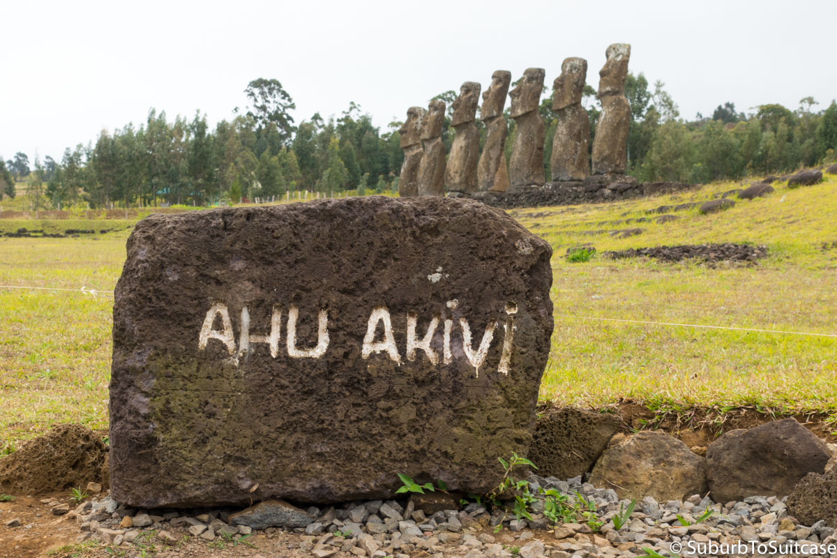
Ahu Akivi
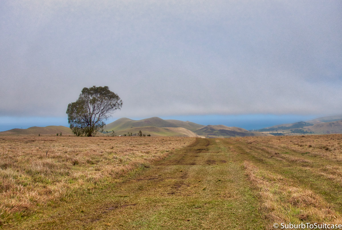
Tera Vaka Hike
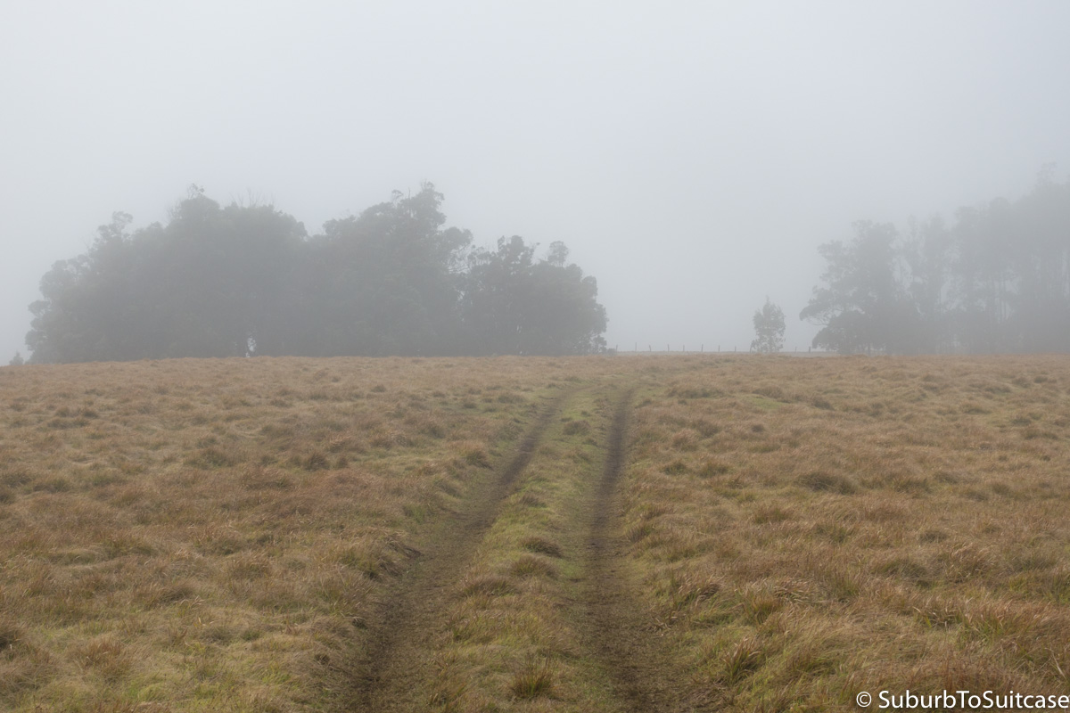
Tera Vaka’s Dense Clouds
Travel Tips:
-
- The currency in Chile and Easter island is the Chilean peso. It is best to arrive on the island with pesos already in your possession so you do not need a money changer. There are only two ATMs on the island and only one accepts Visa. Check with your accommodation in advance to see what currency and method of payment is accepted to prevent unexpected fees. The local bank can do cash advances against a Visa but that may also involve fees. As in most areas with small populations, be sure any paper cash is in perfect condition (no rips, stains, tape or writing) to avoid a rejected bill.
- Remember in order to enter the National Park areas, you must pay the CONAF fee and keep your ticket with you to show at multiple locations over the course of several days. At the time of my trip, this was $80 USD or $54000 CLP. The park pass can only be purchased at the airport or in Hanga Roa.
- You can generally expect wind and some rain on Easter Island. Bring layered clothing and be sure you have a rain jacket or some item of clothing with a zippered pocket to keep your park pass handy and dry.
- Electricity adapters will likely be necessary. The island uses “C” (two round prong) and “L” (three round prong) type outlets.
- Taxis are reasonably priced and fixed rate so there are no meters. The key is to be sure you have round-trip transport because the outer sites are desolate and there will be no taxis waiting for tourists.
- Research vehicle rentals before arrival to avoid surprises. Valid driving licenses are required and there is no insurance at all on the island so driving is at your own risk. Formal rental company prices are very high but you can often borrow a local vehicle at a much more affordable price directly from a resident. Come prepared with cash and know manual transmissions are much more common than automatic. Bicycle rental is widely available but wind, rain and potholes will add to the intensity of the ride. There are very limited traffic controls so drive with care. I do not think it is possible to get lost on this island, though, since there is basically only one main road that branches off. You really just have to be careful of the horses since this is their land. This one made me wait to pass until it sniffed the entire front of my car.
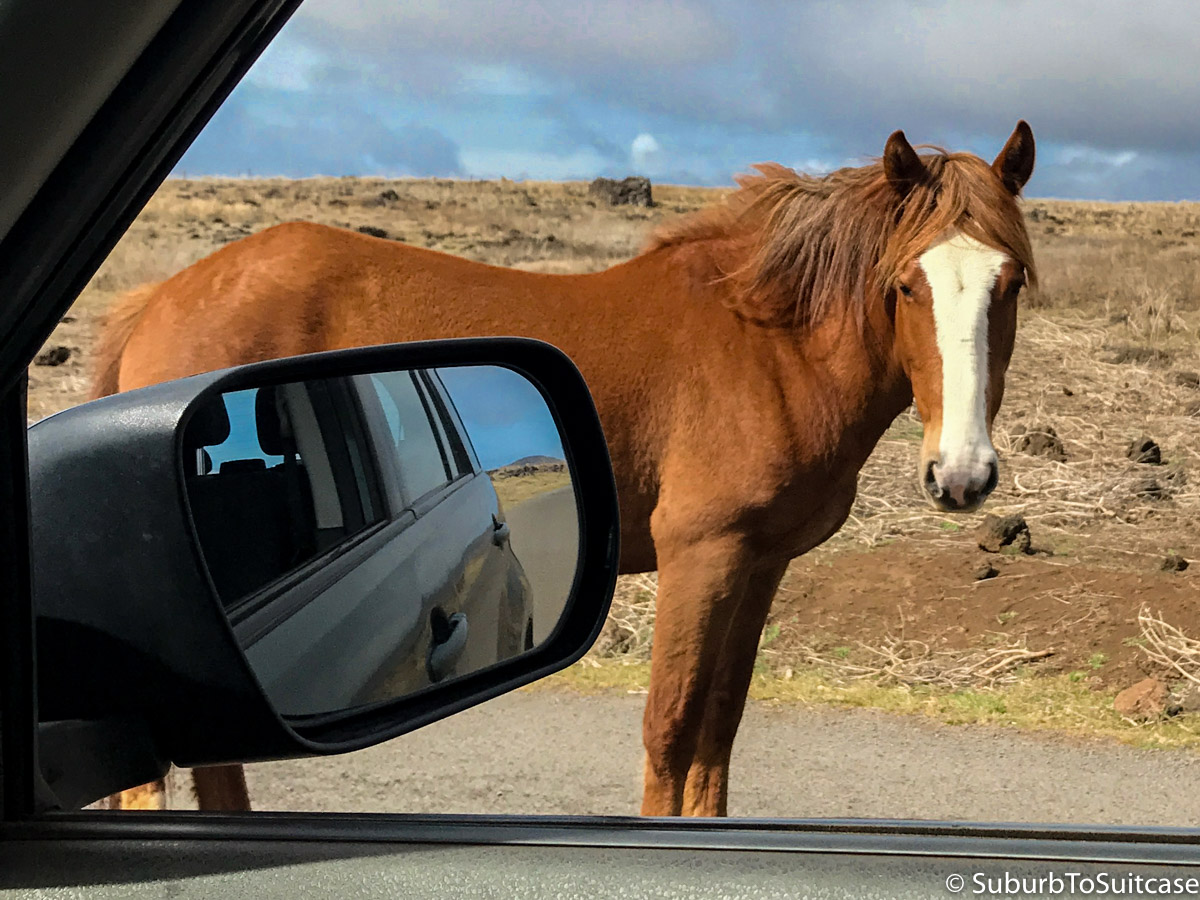
Share the Road
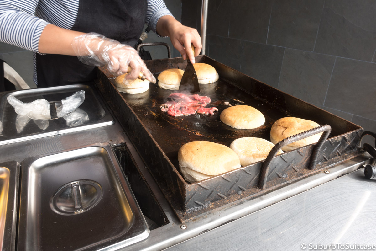
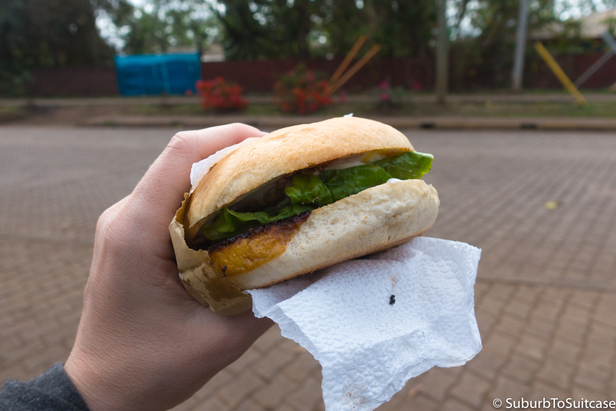
- In general, be prepared for high cost when visiting the island. Supplies and food are difficult for this region to acquire and that is reflected in pricing. Accommodations are significantly higher priced even for hostels. If you are looking for a budget meal, find some homemade empanadas and bring snacks with you from the mainland. I found a street chef who made me delicious churrasco (grilled sliced beef on a bun with lettuce, mayo and sauce).
