There is much to see in the Southwestern U.S., but my all-time favorite road trip was was to explore the canyons and parks, Arizona to Utah. To cover this amount of ground, I would recommend a minimum of five days, but it really depends how much you enjoy roadside diversions and spending time in any one place. At a very brisk pace, I was able to see all the destinations I had planned (with a few extras along the way), but I knew I would have to leave a few areas off my list due to time constraints. Those I will have to return for another time.

Cactus in Sedona
Phoenix
This is a great starting point for a road trip like this since the airport is centrally located, the highways are in great condition and the traffic flows quickly in off-peak hours. The general path North from Phoenix is the I-17 freeway. There is good signage and destinations are never more than a couple of hours apart. If you have any extra time, plan to explore the Phoenix metro area too before heading North. Picturesque hikes and colorful sunsets are all around.
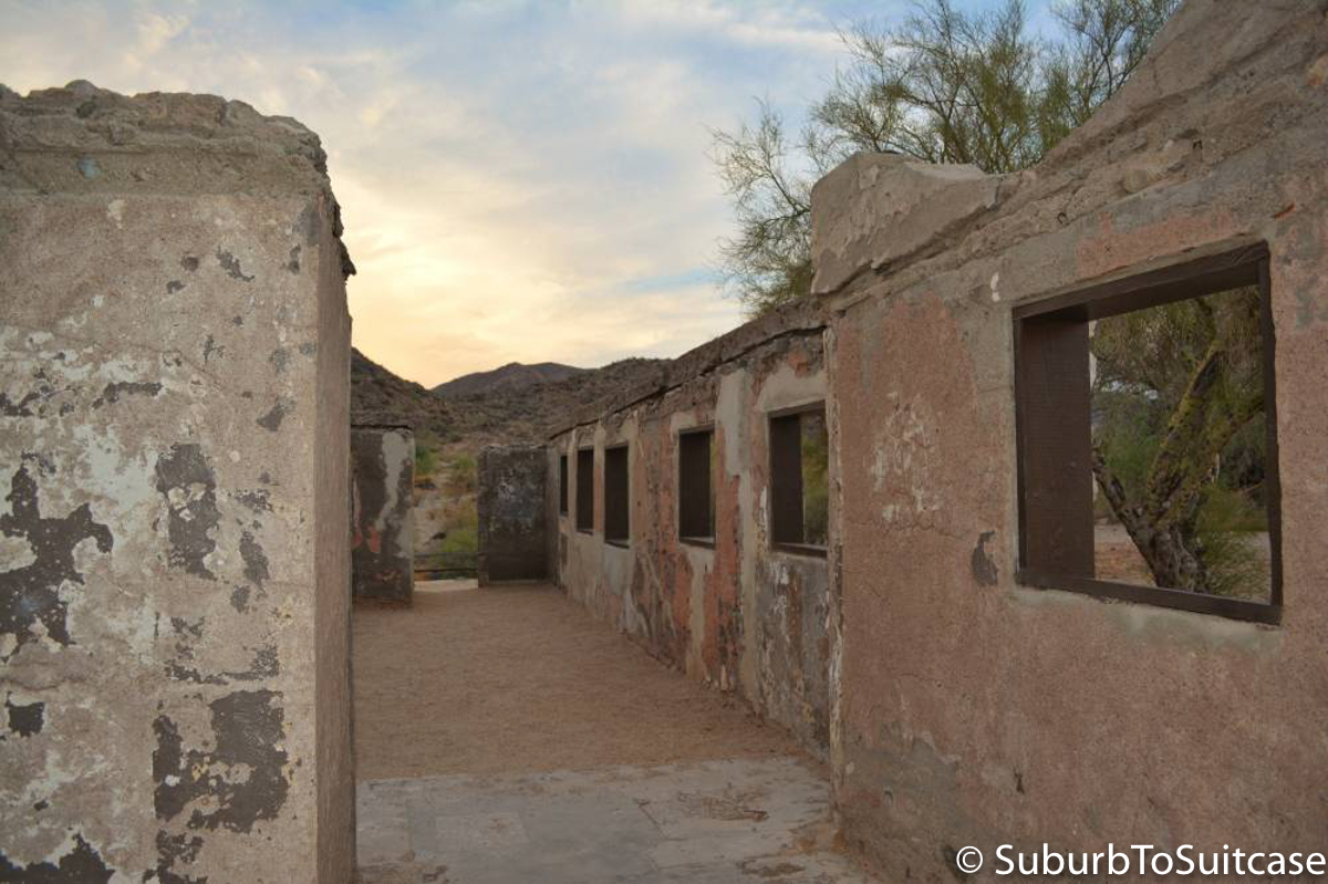
South Mountain Preserve
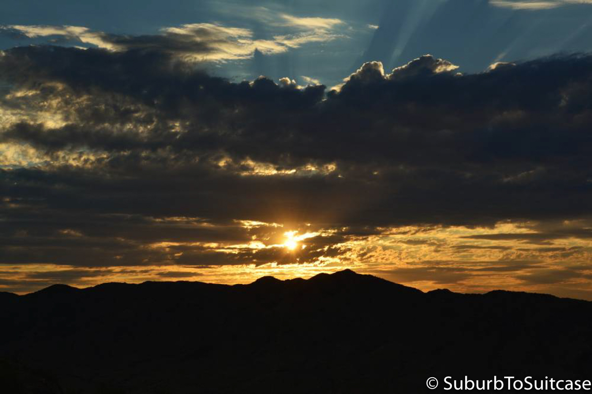
Dobbins Lookout Sunset
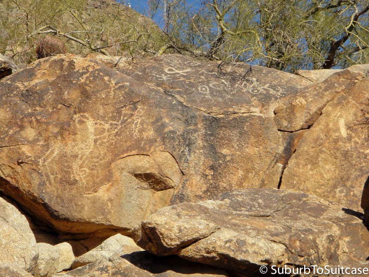
Petroglyphs on Telegraph Pass
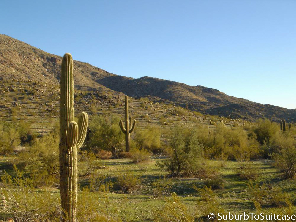
Saguaros on South Mountain
Sedona
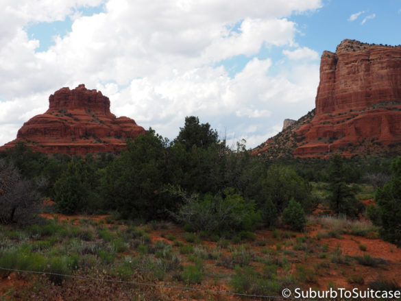
While there are other places to hop off the highway after leaving Phoenix (e.g., Montezuma Castle), the first major stop is Sedona. Red rocks, scenic hikes just off the main road and endless photo opportunities exist here. If your style of travel includes spa treatments, artisan jewelry, timeshare tours or golf, this is a perfect overnight destination, but be prepared for steep prices. Look for the Chapel of the Holy Cross here – it is built into the mountain. If you park at the base and walk a short but steady incline to the top, there are beautiful (free) views.
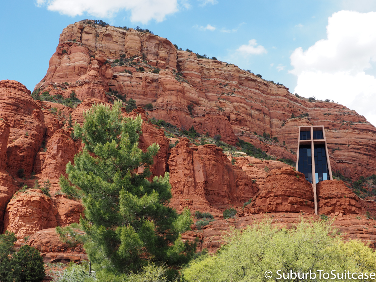
Chapel of the Holy Cross
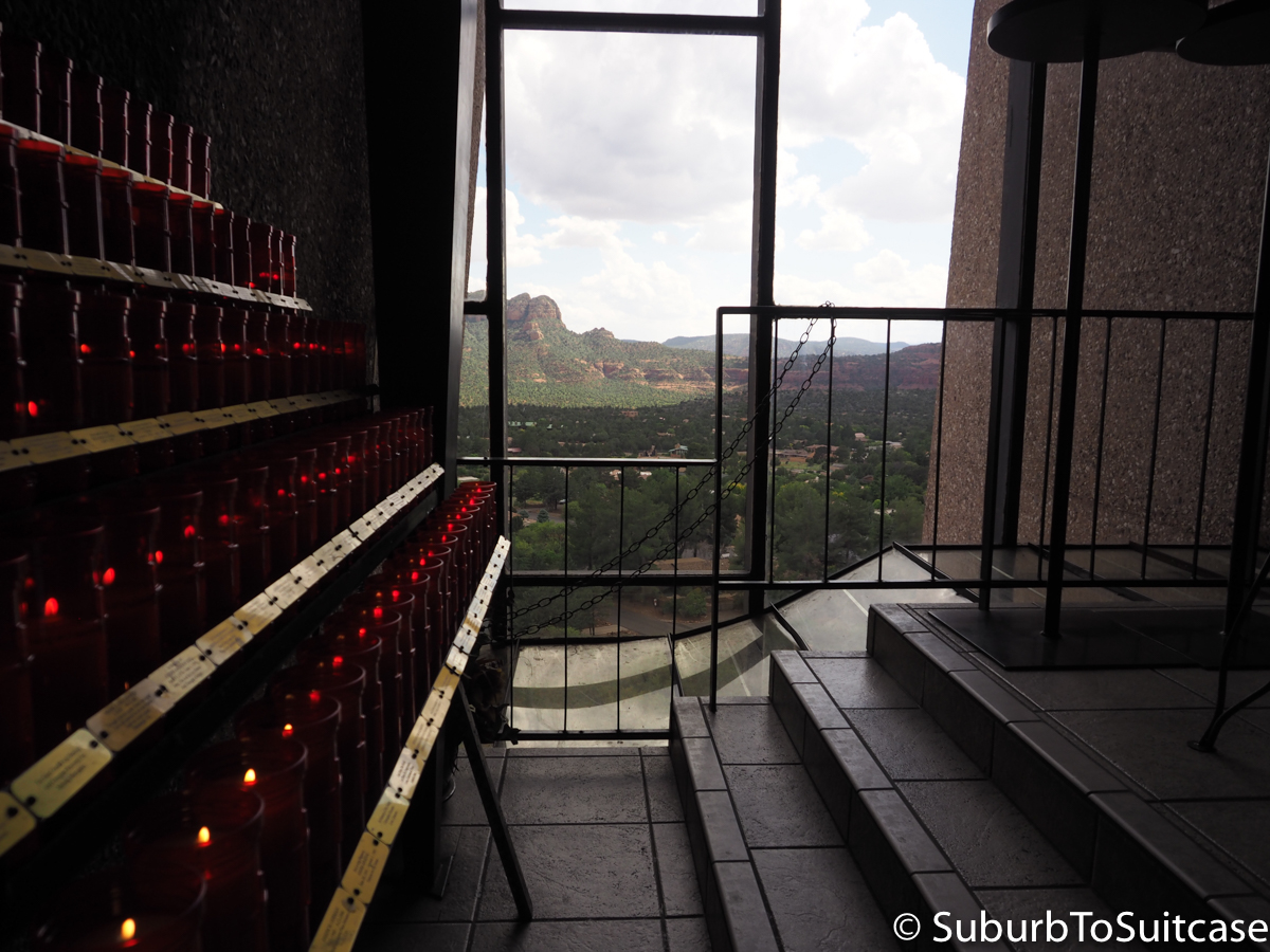
Chapel Interior
Flagstaff
Next up, Flagstaff – home to the other Arizona college, Northern Arizona University. Flag is also along historic Route 66 which is another fun road trip theme if you are heading across the U.S. For Phoenix metro residents, this is considered “up North” so we tend to vacation here in the summer for the cooler weather. Winters bring snow and when the town is lucky, the small downhill ski resort (Snowbowl) opens. Any of the highway exits make for a beautiful side drive to see a bit of the Northern landscape of Coconino National Forest. My favorite has always been Schnebly Hill Road which actually connects through Sedona’s red rocks, so it is worth planning a scenic drive along this path if you have the time. Just take care in the winter months when the snow can roll in quickly and provide white-out conditions on the narrow road. I was caught in these conditions on another trip years ago and while breathtaking, it can also be dangerous. Other points to see in Flagstaff include Sunset Crater. Experienced hikers can also climb to the summit of Humphrey’s Peak (~12K elevation).
Vermillion Cliffs/Marble Canyon
Leaving Flagstaff, take Highway 89 and you will begin to see stunning striped rock landscapes that stretch for miles. The highway continues through the Navajo reservation so be careful of speed. I am not sure if it was an isolated storm that caused our drive through this area to be intensely windy or if this is the low part between the canyons that causes a natural wind tunnel effect. Either way, our little rental car was tossed all over by the gusts and it was all I could do to just hold tightly to the steering wheel for about 45 minutes until it broke free. Nevertheless, the views are stunning and there are little trading posts and interesting graffiti along the otherwise desolate desert route. Keep an eye out for horses, cattle and other animals. If you enjoy infrastructure and architecture, Navajo Bridge is a pretty area that crosses over the Colorado River.
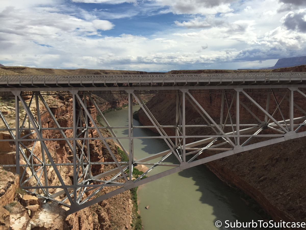
Navajo Bridge over Colorado River
Page
Continuing on the highway, the next main town is Page, near the Arizona-Utah border. Page is a sleepy town that comes alive on holidays such as Memorial Day because of its proximity to Lake Powell. The two big draws to Page (other than the lake) are Horseshoe Bend and Antelope Canyon. I would recommend spending the night here. It is an eclectic area with numerous restaurants, gas stations and shopping markets in case you need anything for the rest of your trip.

The statistician in me loves the subtle humor in this sign.
Antelope Canyon
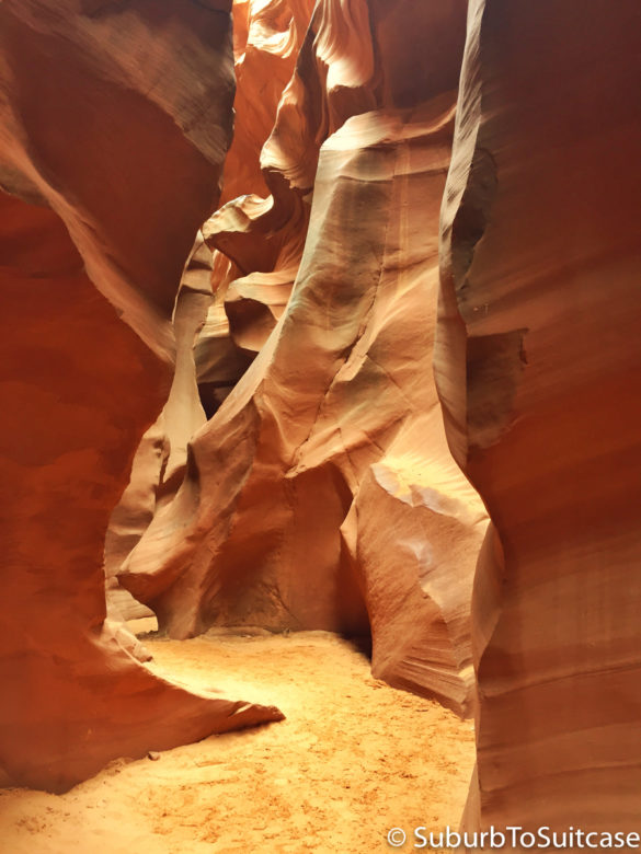
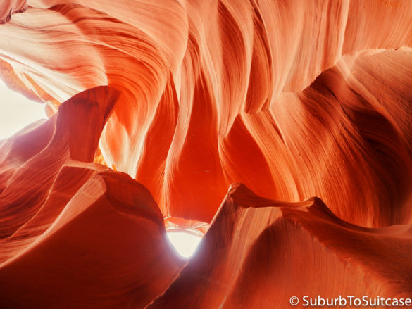
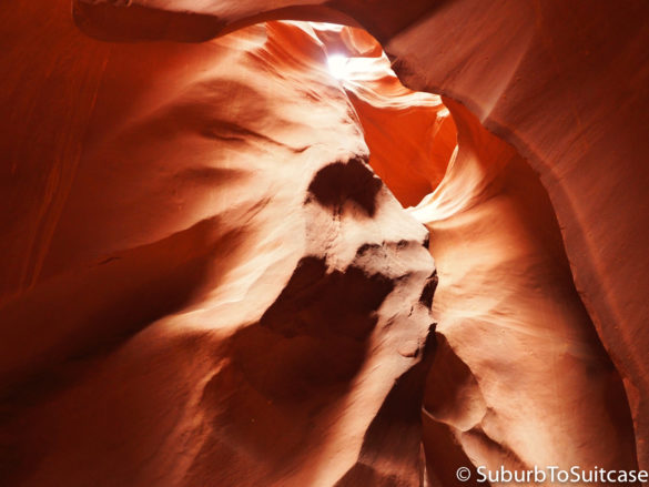
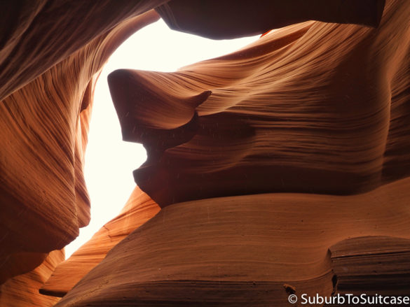
Antelope has gained significant notoriety since November 2014 when Australian landscape photographer Peter Lik sold his print entitled “Phantom” for $6.5 million USD. The canyon entrance is only about 10 minutes from the heart of Page, but you would likely never know this existed unless you were looking for it. Both the lower and upper portions of this canyon are located on the reservation so a local guide is mandatory. The tour price runs ~$20 USD for adults plus an $8 USD Navajo permit fee. The two canyon entries are different (e.g., lower has numerous stairs and narrow spaces, for example) so you need to choose which is your preference or try to plan two tours while you are there. We were extremely lucky on this trip because our tickets were for the 11am tour (15 people maximum per group) and the rain was somewhat finicky that morning. As it turns out, the rest of the tours that day were postponed several hours because of the flash flooding risk. The Native American tour guides take safety very seriously, so they will only allow tours when they deem this safe. The landscapes within the canyon are breathtaking and the local tribe members will point out natural formations that closely resemble people and animals. This is really a must-see destination.
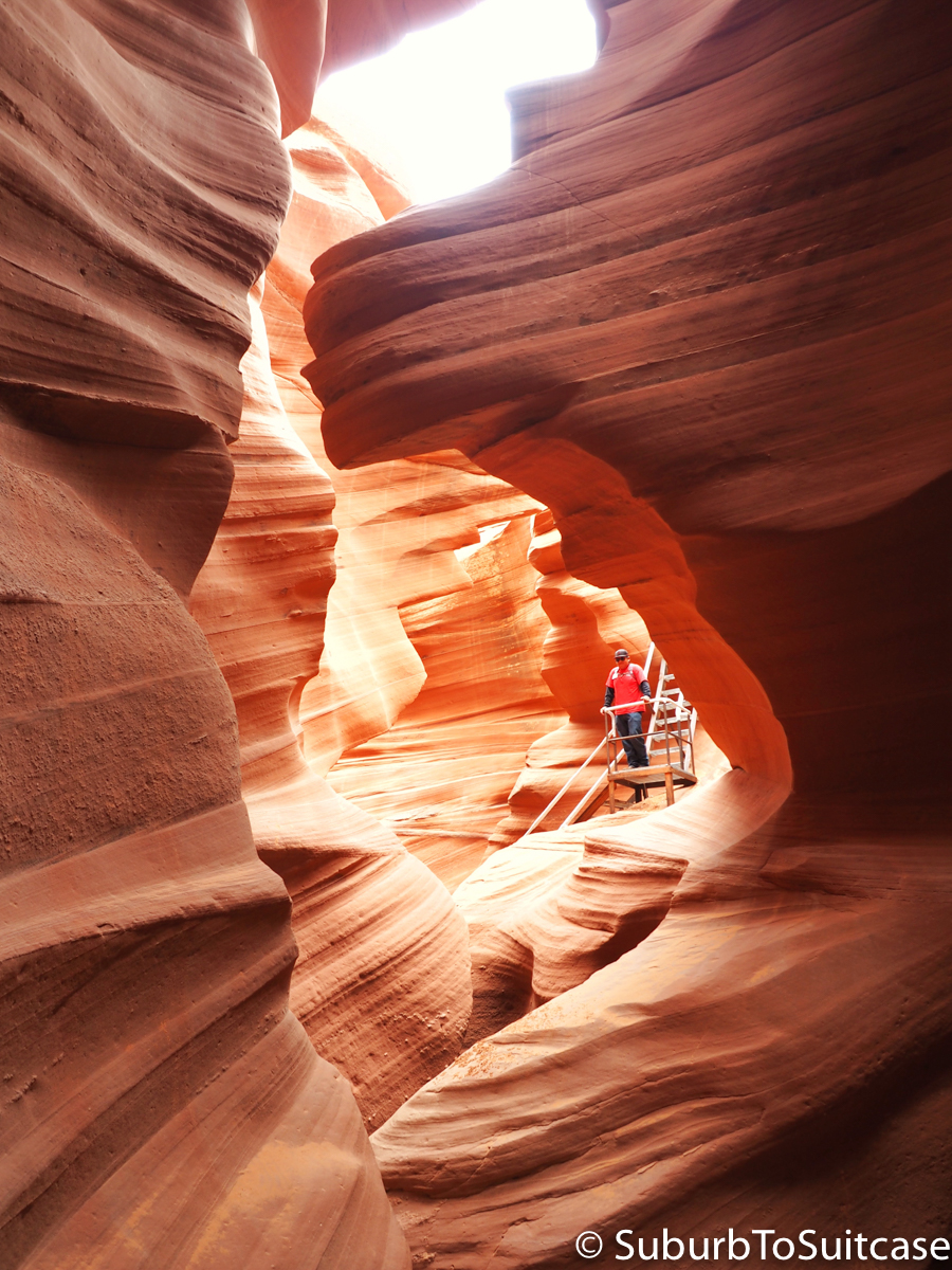
Initial Descent Into Lower Antelope Canyon

Final Canyon Descent
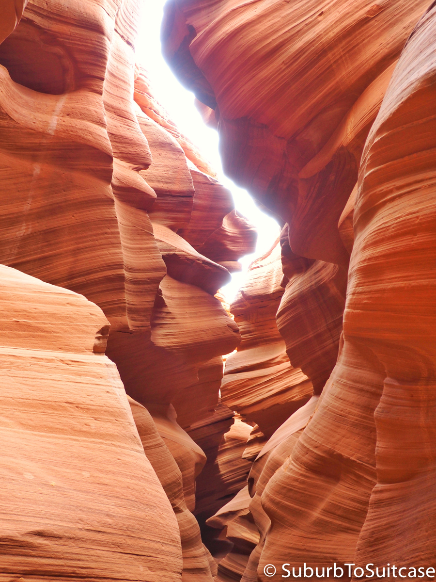
Stunning Narrow Passages
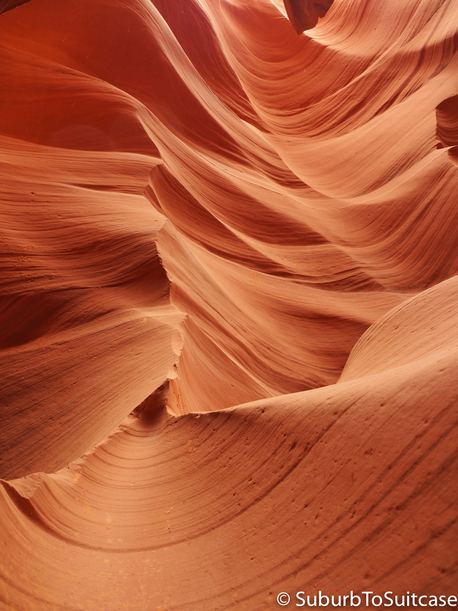
Beautiful Rock Formations
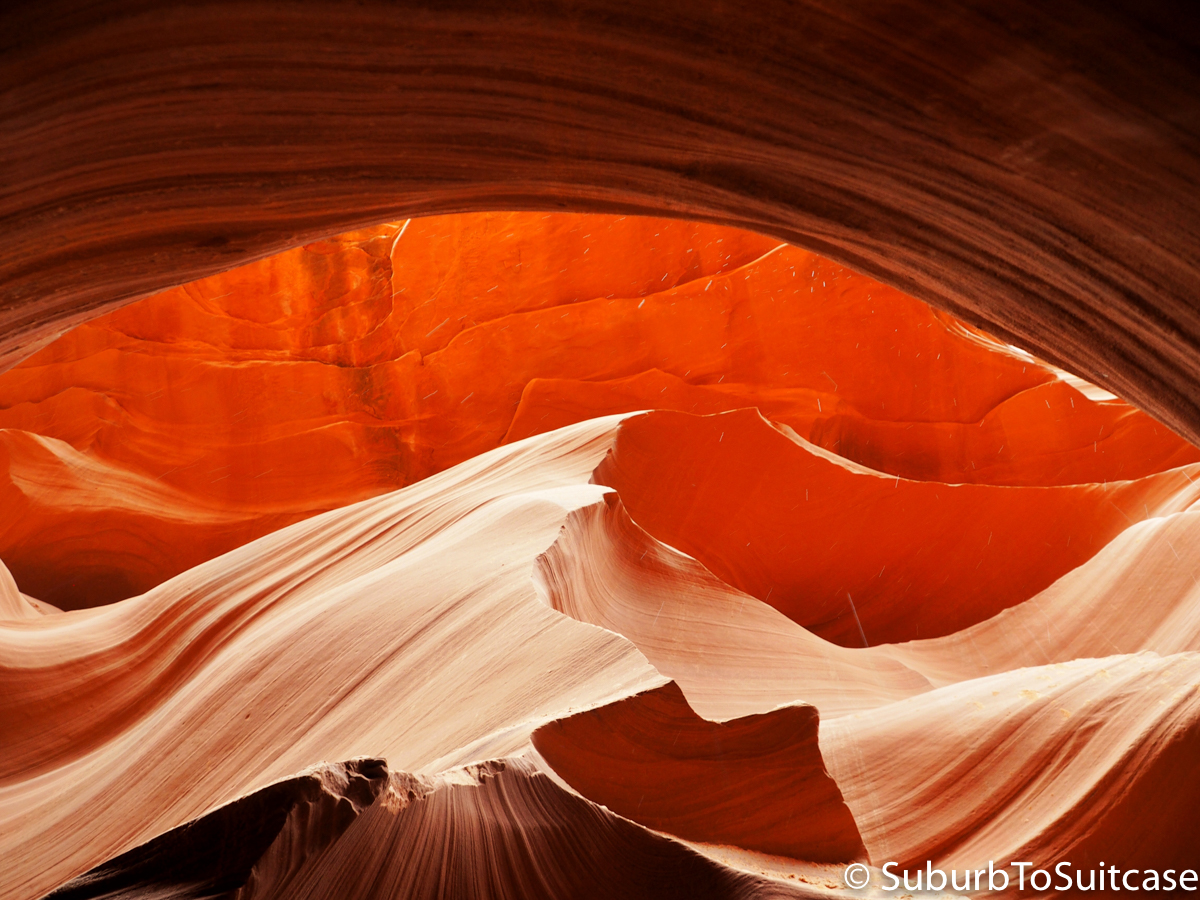
Wave Natural Rock Formation

Unique Water Erosion Shapes
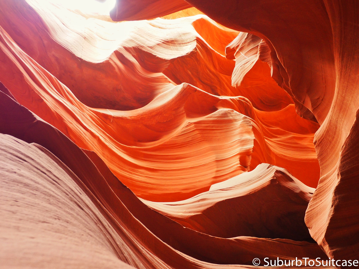
Natural Rock Formations
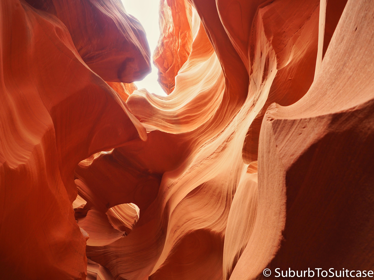
Nature’s Canvas
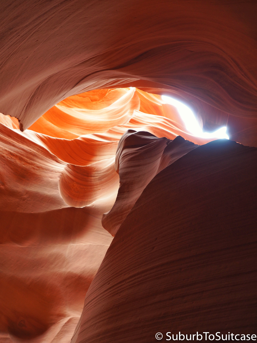
Growling Bear Natural Formation
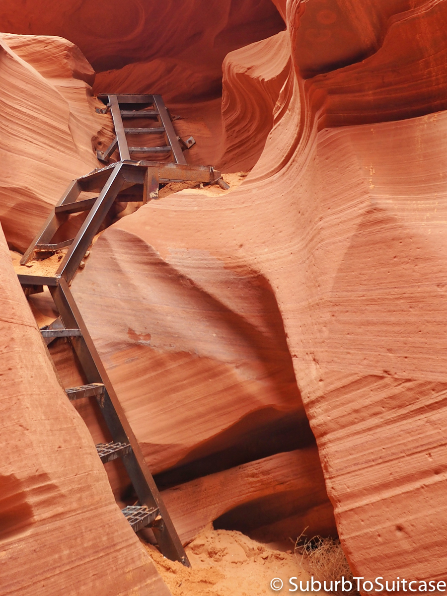
Portion of Climb to Exit Lower Antelope Canyon
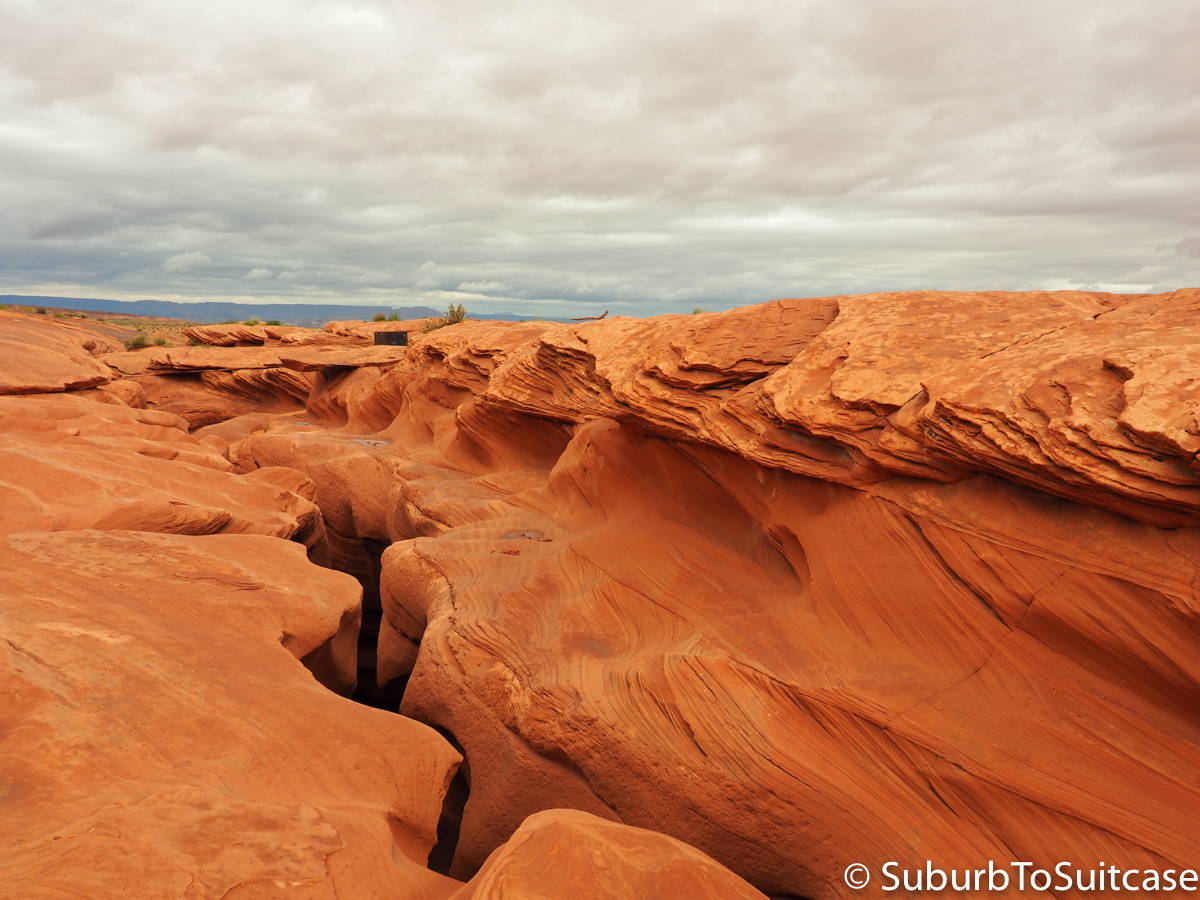
View above Antelope Canyon – such beauty within a tiny crevice
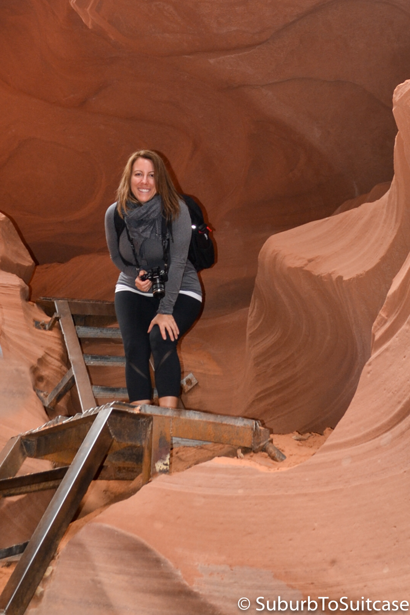
Me on the ascent out of Antelope Canyon (photo by travel friend, Sarah)
Horseshoe Bend
Just five minutes outside of Page is Horseshoe Bend, where the Colorado River rounds a corner forming a natural “U” shape. The reason this is so often photographed is because the color palate changes based on the weather and time of day. When I was there, it was overcast, early in the morning and there was a slight mist. This caused the colors to be more green in nature. When the sun sets, the colors can change to purple and blue hues. The tip here is to either arrive very early or be prepared to navigate through crowds of people. The site is not visible from the road so you just need to look for the small sign. Park in the dirt lot and walk about 10 minutes downhill to the canyon – you won’t even see it coming. As most websites state, this is a purely natural area. There are no fences and no bars to prevent a visitor from approaching too closely to the edge so you must view at your own risk. Since we arrived early, there were only two other photographers at the site which made it an unbelievable experience. When we passed by the evening before, the parking lot was completely full and cars lined the highway, so the experience can really vary. This is not a destination for children or those fearful of heights.
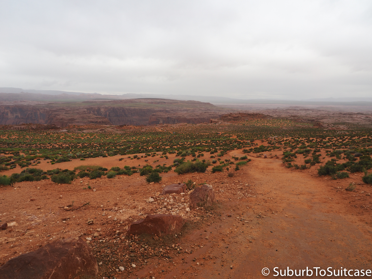
Walking Path to Horseshoe Bend
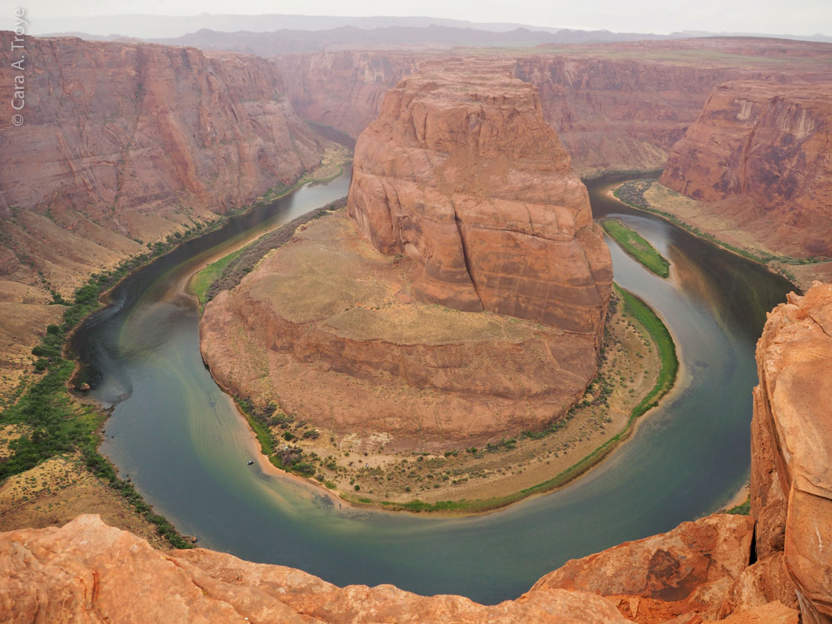
Dawn at Horseshoe Bend
Grand Staircase-Escalante National Monument
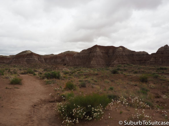
Leaving Page, you cross over the Colorado River at Glen Canyon Dam which forms Lake Powell and takes you into Utah. If you have time to stop at the dam or the lake, both are nice – Lake Powell has some beautiful rock formations that you can only view from the water so you need to take a charter tour or rent a boat. Continuing the drive towards Utah, there are numerous places to pull off the road to see part of the Grand-Staircase-Escalante National Monument. One example is the Toadstools. This is just a short hike that starts from the highway’s edge but there are interesting rock formations along the way even if you do not have time to make it all the way in.
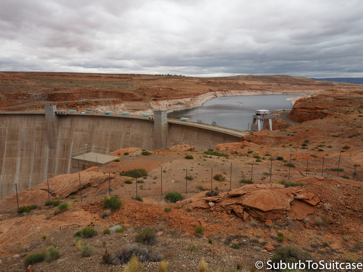
Glen Canyon Dam Forming Lake Powell
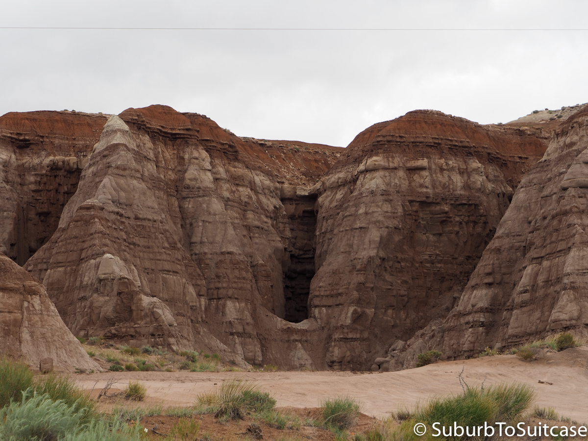
Grand Staircase-Escalante National Monument
Kanab
Another good place to spend the night is Kanab. This is a quaint little town and a great central location when visiting the National Parks. The big draw to Kanab is actually “The Wave” at Coyote Buttes but hiking here requires significant planning or really good luck on a lottery process. For me, this needed to wait for a future adventure. It is definitely worth researching though (well in advance) if you enjoy hiking and landscape photography. You can take the same road through Kanab to both Bryce Canyon and Zion National Park but there are also some other stops along the way like Coral Pink Sand Dunes State Park. Getting here seems so simple since there are signs along the highway, but it is a narrow, winding road that is very slow moving due to tight turns and blind ascents. It is a really fun drive though and you may not even see another vehicle until you arrive at the dunes. The sand is thick and deep orange/pink – great for strenuous walks and climbs.
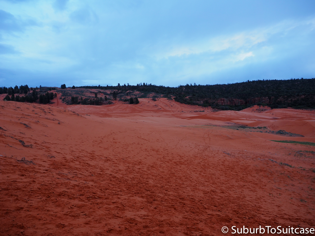
Coral Pink Sand Dunes State Park
Bryce Canyon
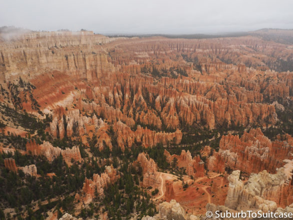
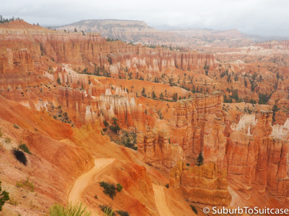
Whoa. This place is amazing. Before you even make it to Bryce, you drive through the huge arches in Red Canyon at Dixie National Forest. These are pretty spectacular. Important to note is that the weather will be different at Bryce from other areas in Utah and Northern Arizona. The elevation is high and it is much cooler. We had some rain here too, so you just need to be prepared with appropriate clothing (gloves suggested and shoes with good traction). The rain can make hiking challenging since you get to a point where the red clay becomes sticky and slippery. Going down is one thing, but trying to get back up can be something else. The most interesting viewpoints at Bryce are the naturally eroded amphitheater and the hoodoos (rock spires).
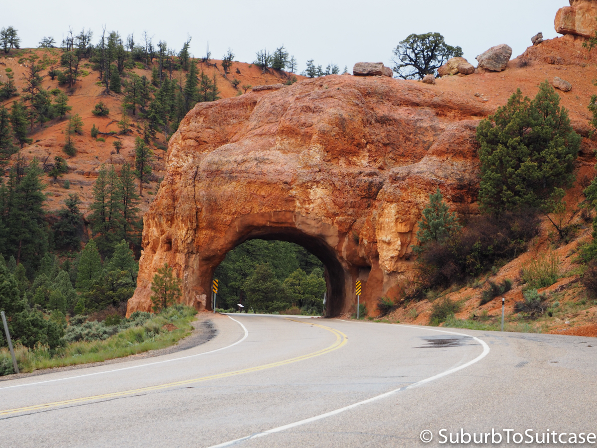
Driving Through Red Canyon Tunnels
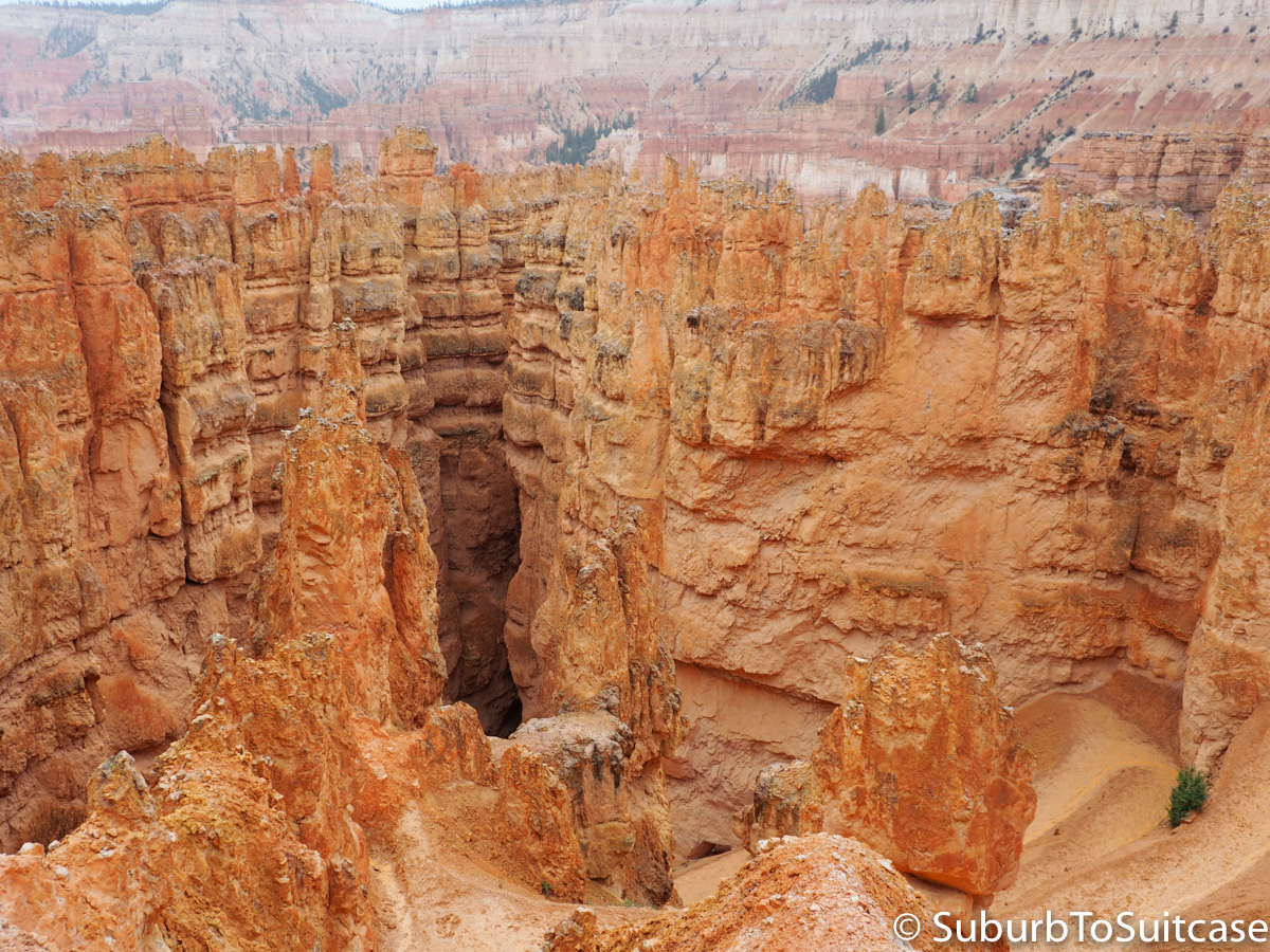
Bryce Canyon Hoodoos
Zion National Park
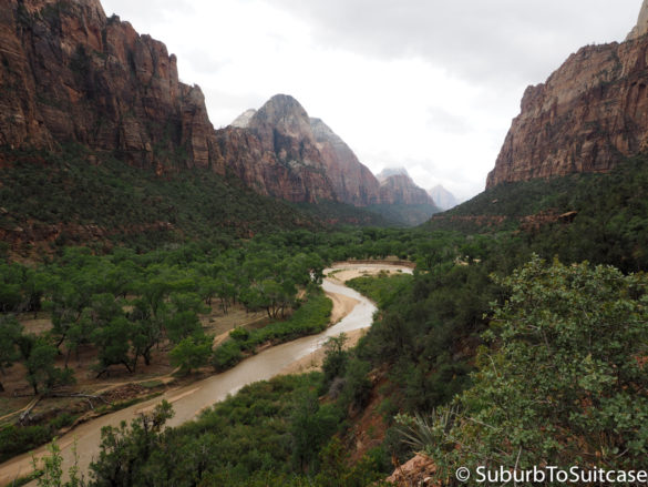
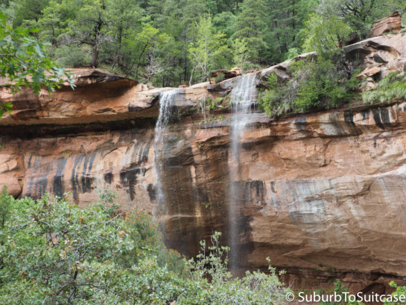
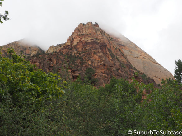
While Zion and Bryce could both be visited in one day, you don’t want to rush these. Zion is worth several hours on its own. Getting into Zion is half of the fun (and excitement). The drive begins with the Zion-Mount Carmel tunnel – not just any tunnel either – a BIG one. This 1.1 mile experience is not for the faint of heart or the claustrophobic. There are a few stone windows strategically placed through the tunnel so drivers and passengers have a little light but it is an ominous experience driving through the mountain, in predominantly pitch-black conditions. Once outside the tunnel, the hairpin curves through the mountains are beautiful with some nice places to stop for photos. Due to elevation, the fog can be amazing. Hiking is well coordinated here with shuttle buses that take you to the stop of your choice to begin your hike. Rain is something to watch here too and the park warns of flash flooding dangers so it pays to be cautious. The Virgin River flows along the trails. Keep in mind that 2.5 times more visitors come for Memorial Day weekend than any other days in the year, so plan your trip expectations if you visit then. If you want a brief distraction after exiting the park, there is a private buffalo sanctuary just outside the park exit. It is hit or miss how close the herd will be, but you can see them if you look closely.
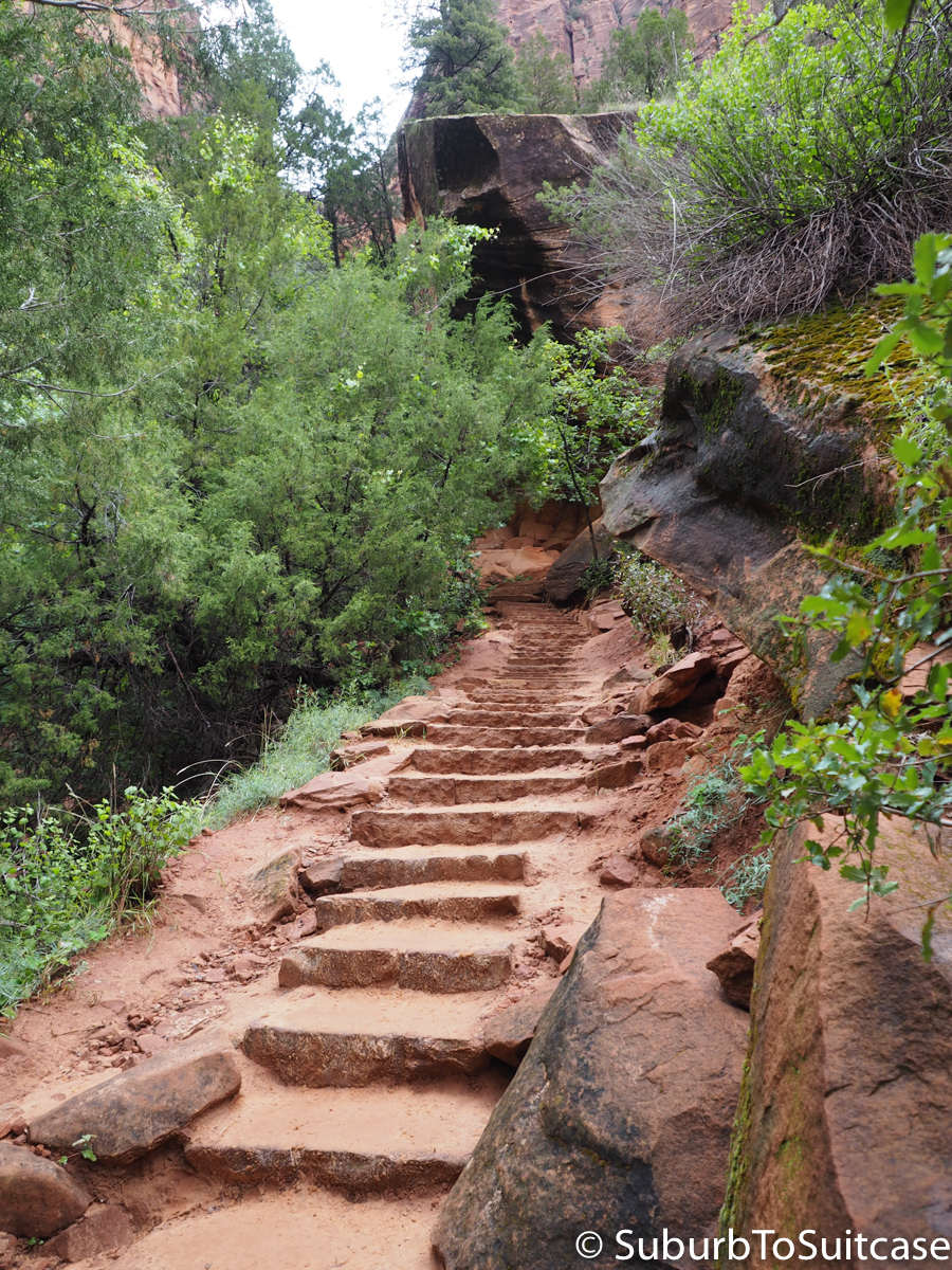
Emerald Pools/Kayenta Trails
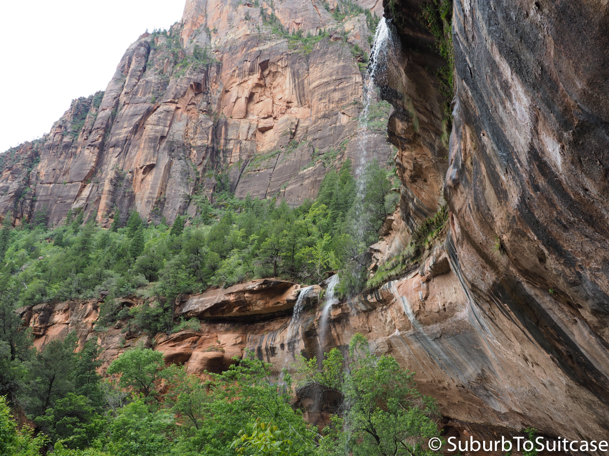
Zion Waterfalls
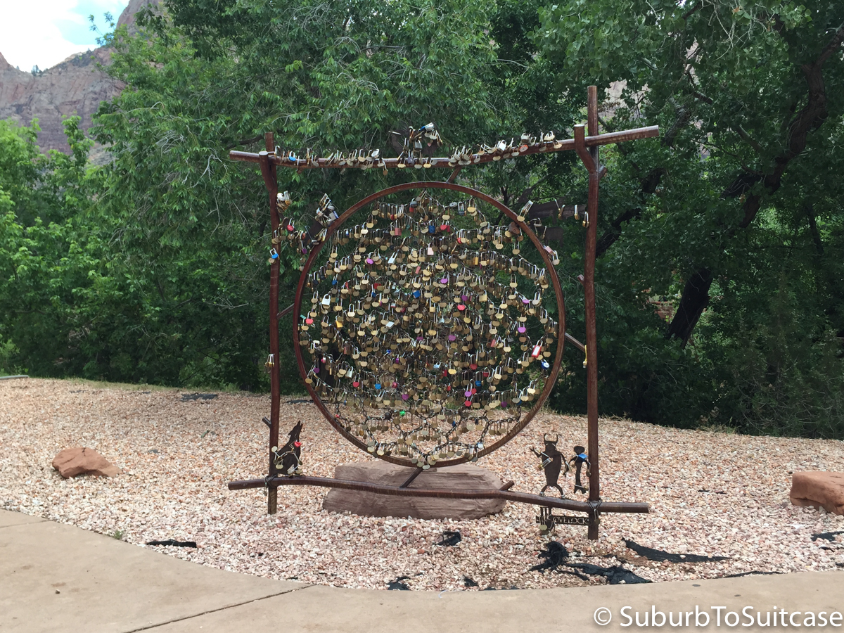
Love Locks
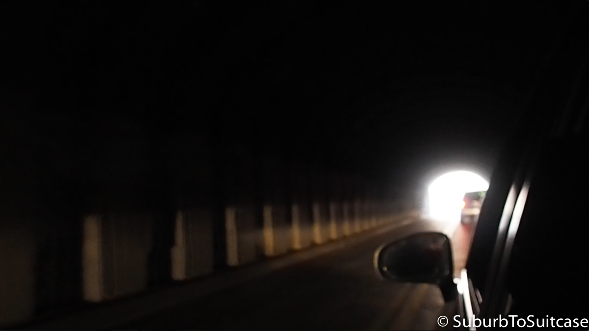
Tunnel Exiting Mount Carmel (photo courtesy of travel friend, Sarah)
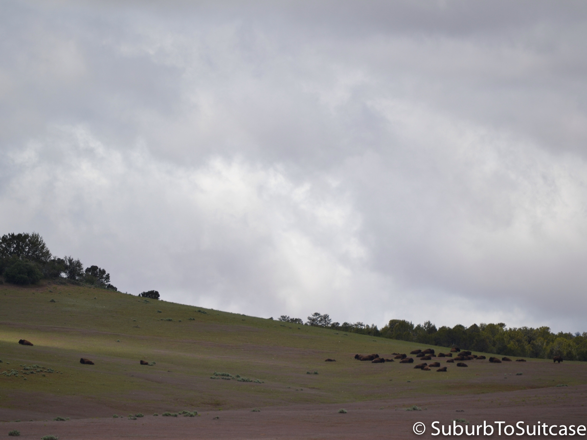
Buffalo Herd Outside Zion
Grand Canyon
If you are returning to Phoenix, at some point you will want to head back through the Grand Canyon. I prefer the South Rim but there is also a North Rim entrance. Depending again on the weather and time of day, photos from the lookouts will vary. Mine are quite blue due to the cloudy sunset. Be aware that there are a LOT of elk in this area at dusk and dawn and they come right up the road’s edge since they have no fear in the protected sanctuary. My recommendation is to leave the park just before sunset to be sure you can get through most of the drive before dark. If you come back through Flagstaff, you could consider spending the night here too. For an extended trip, you could even camp at the bottom of the canyon and hike or white water raft.
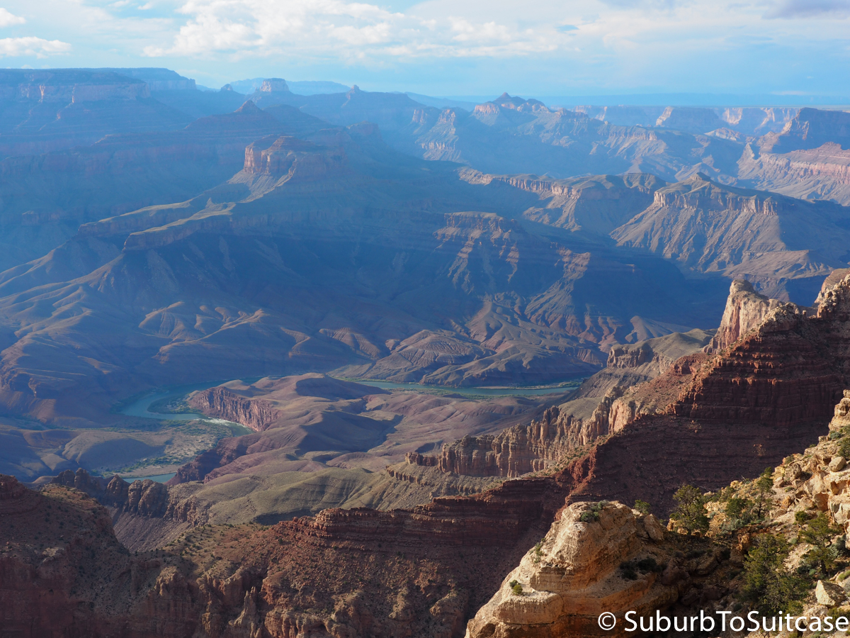
Grand Canyon, South Rim
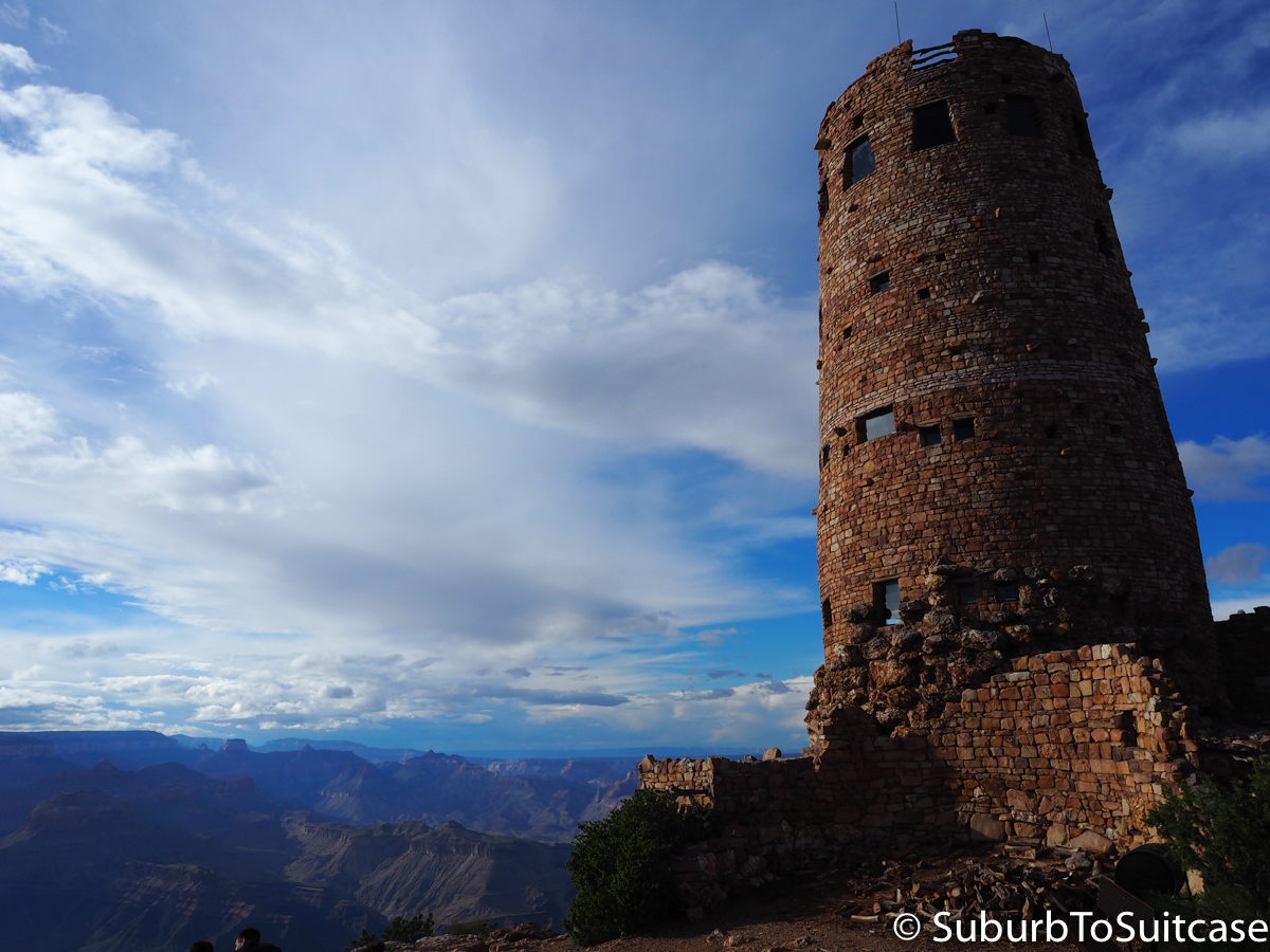
Desert View Watchtower
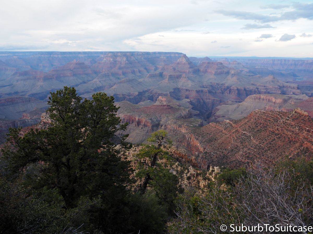
Grand Canyon, Sunset Approaching
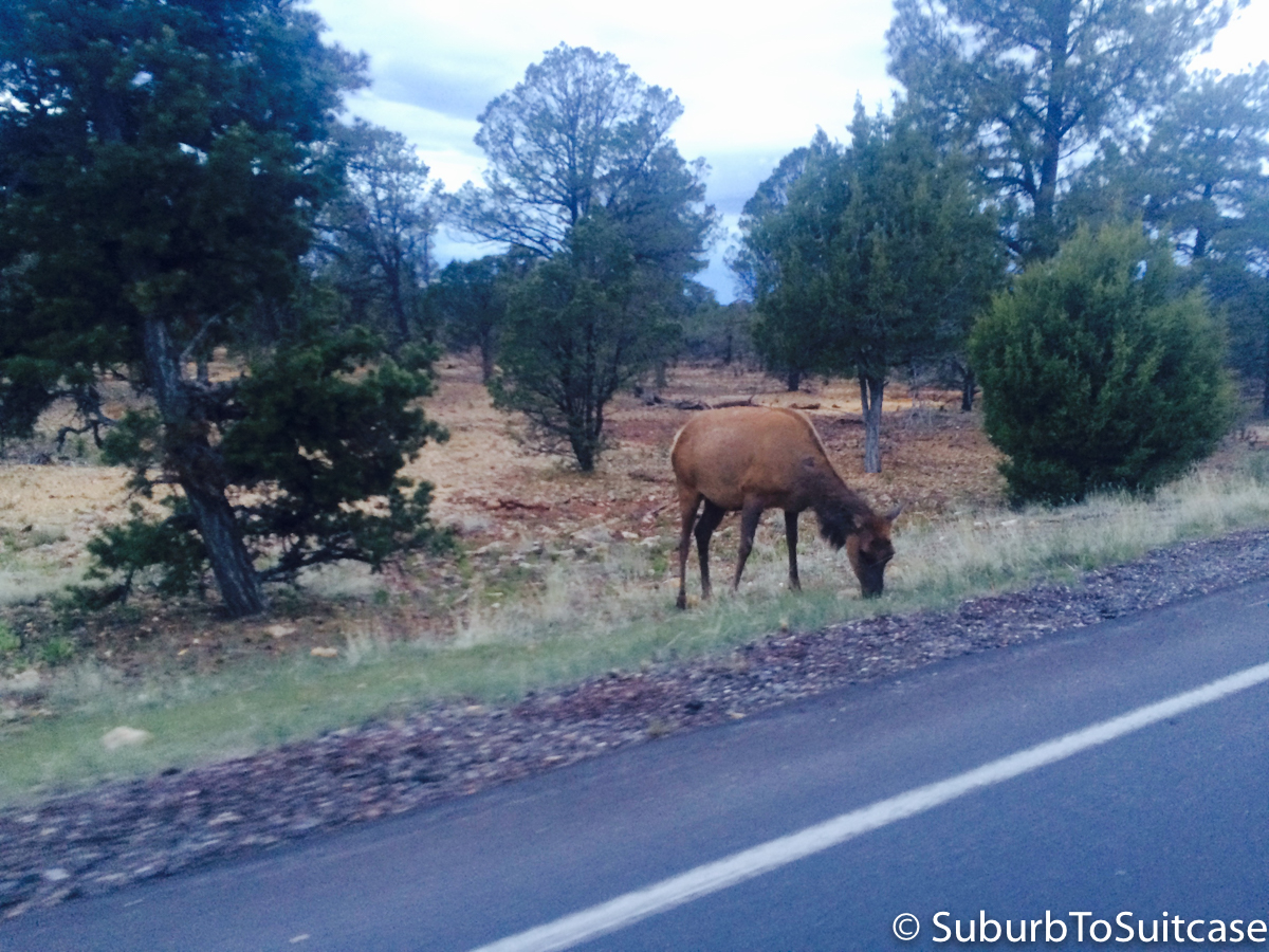
Elk Grazing at Dusk (photo courtesy of travel friend, Kayla)
Whew! I’m not sure if I missed anything in this travelogue, but it really was an amazing road trip and I would recommend it to anyone. If you are stopping at several national parks, you could consider an annual park pass which is ~$100 USD per car, I believe. As for a splurge food recommendation, when you get back to the Phoenix metro, grab a burger and fries at In-N-Out. If you did any hiking, you definitely earned these calories. In-N-Out is not just any burger joint. The fries here actually taste like real potatoes (since they are never frozen) and the burgers are cooked fresh to order as well. There is a secret menu where among other options, you can turn a double cheeseburger into a protein burger lettuce wrap if you ask. Arrive with patience while you wait. In-N-Out Burger is really Southern California’s best gift to Arizona!
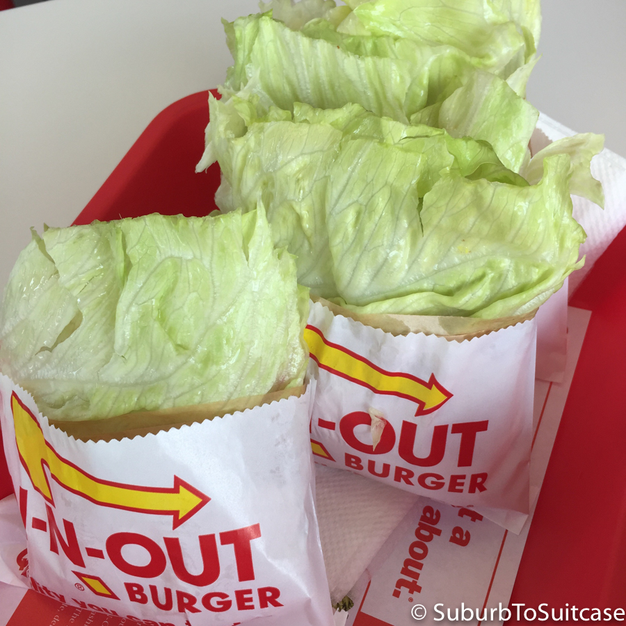
In-N-Out Burger (Only 1 of these was mine!)

